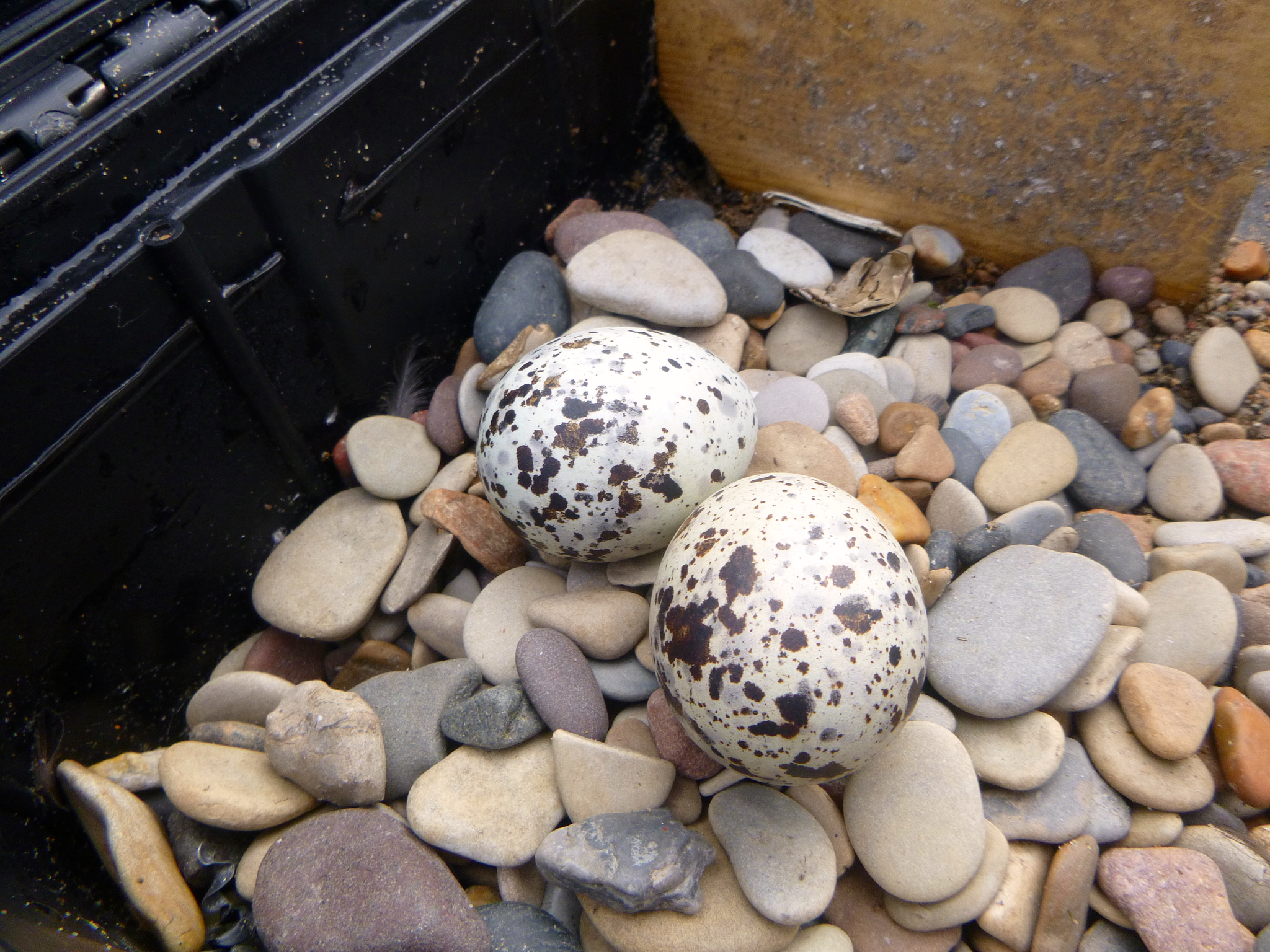
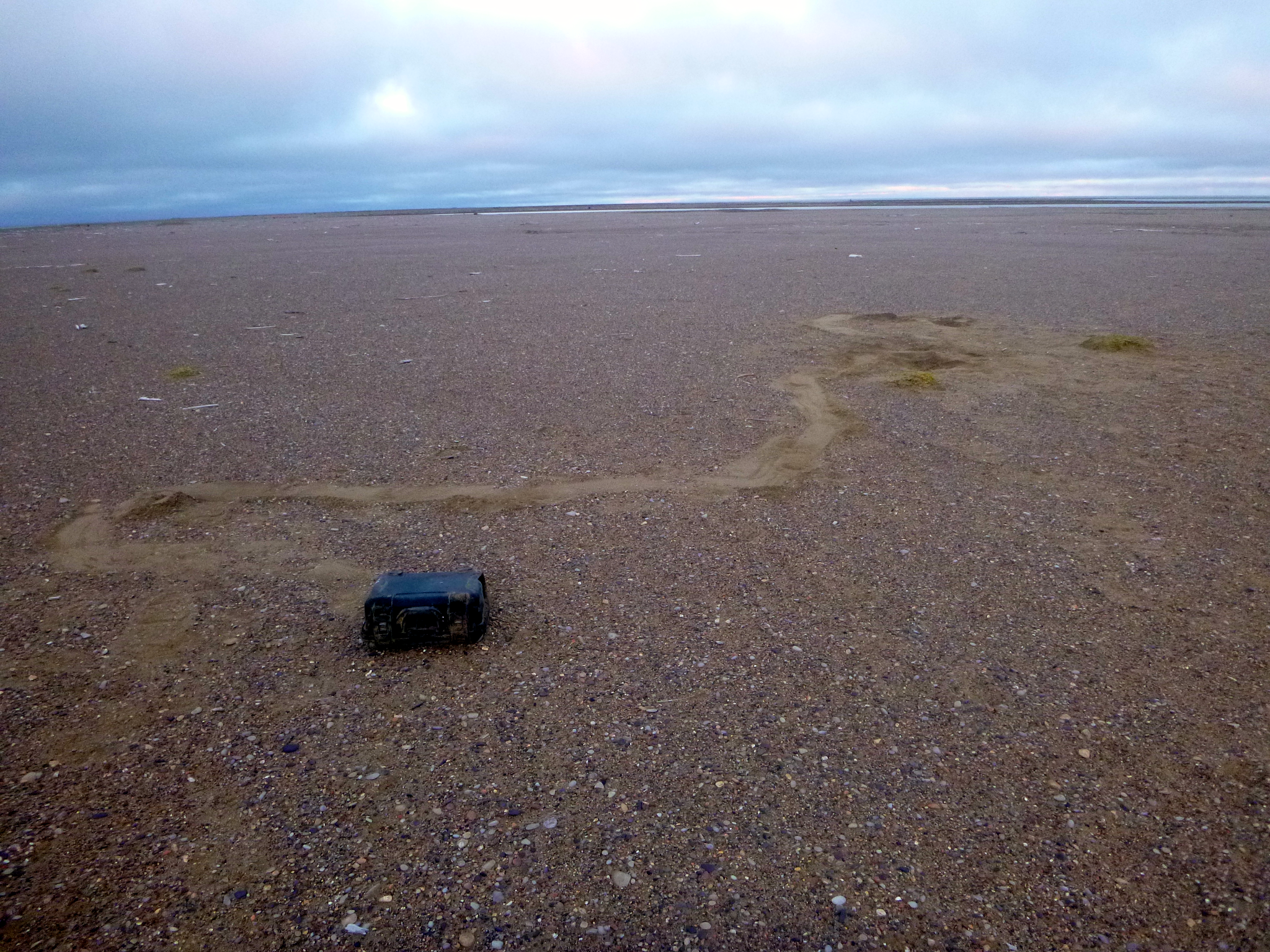
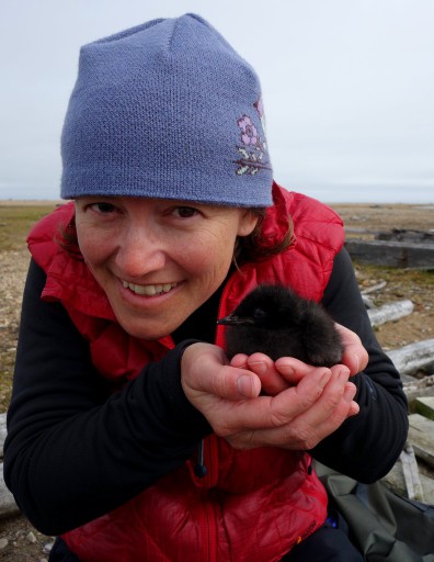
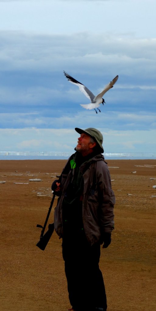
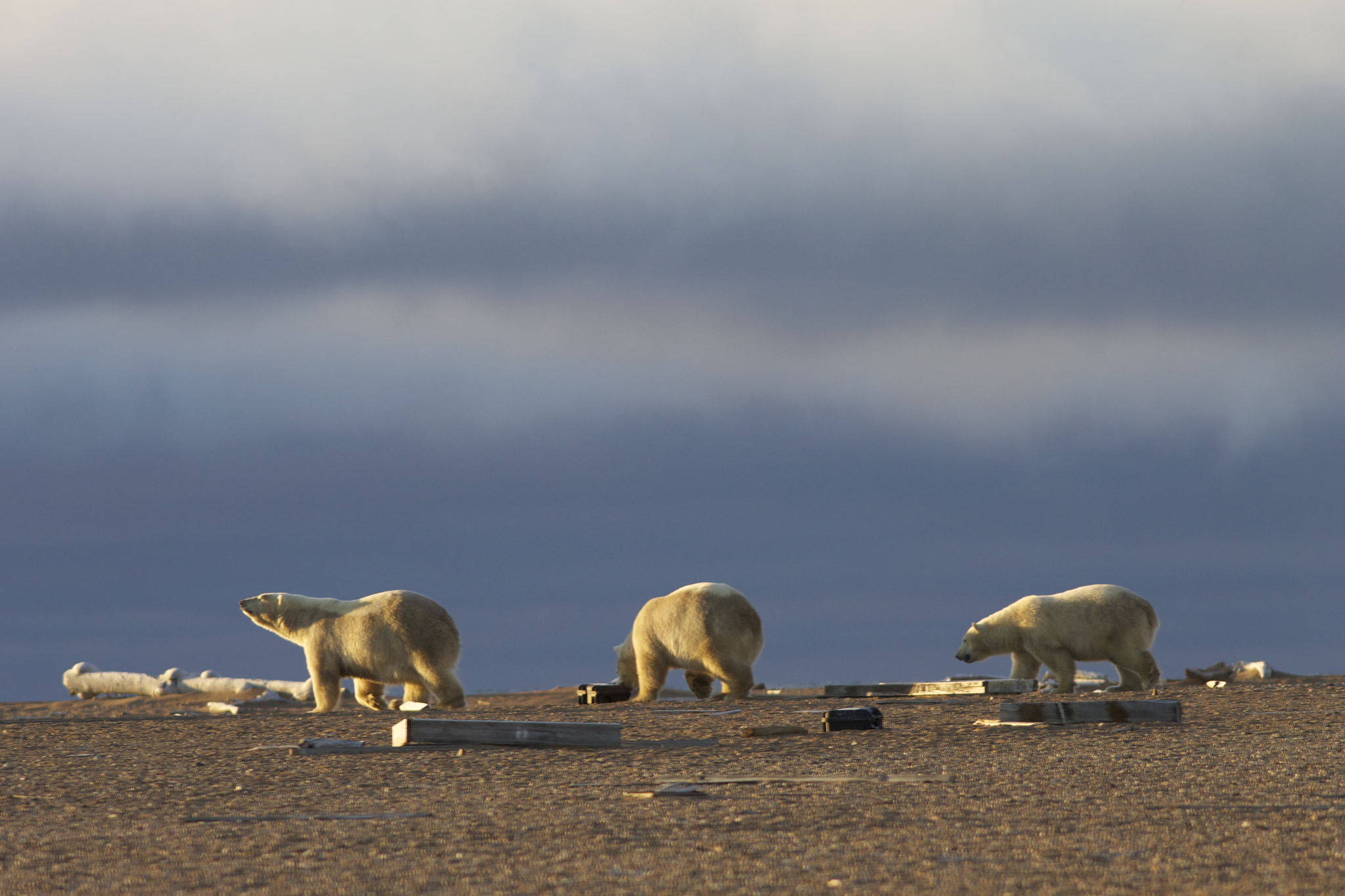
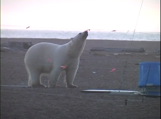
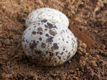
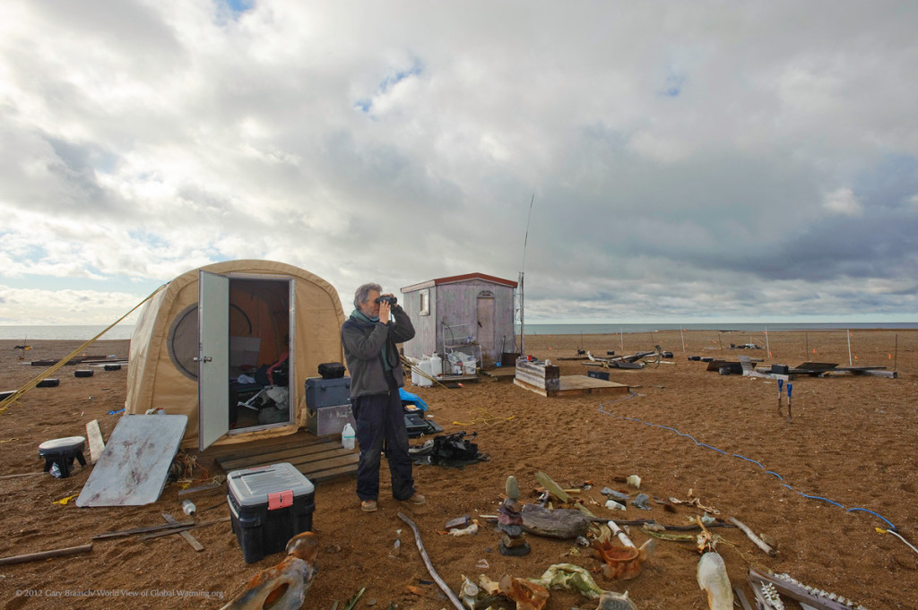
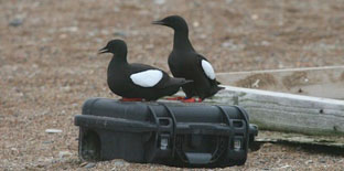
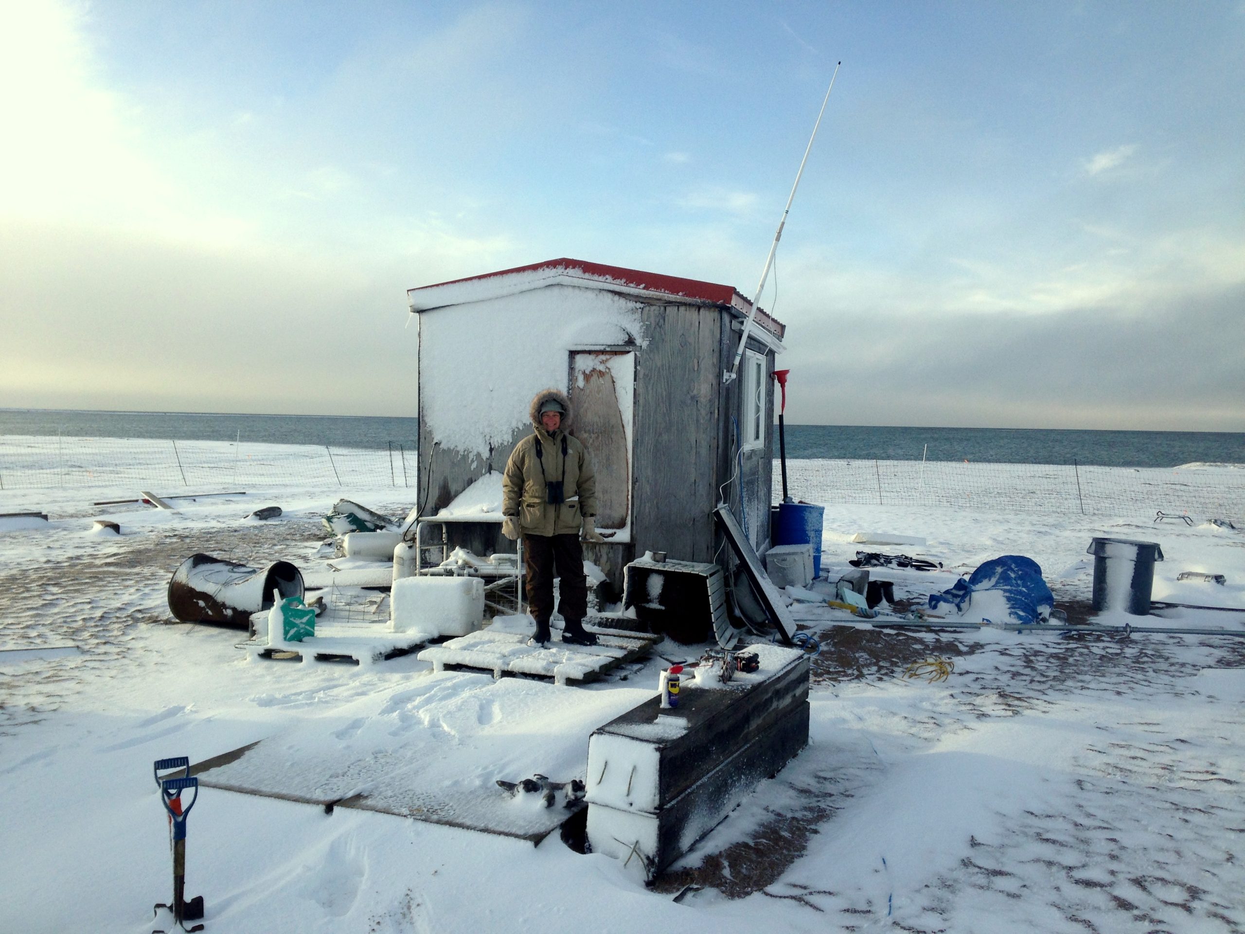
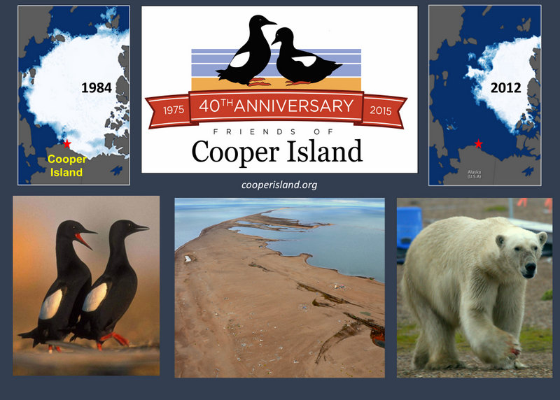
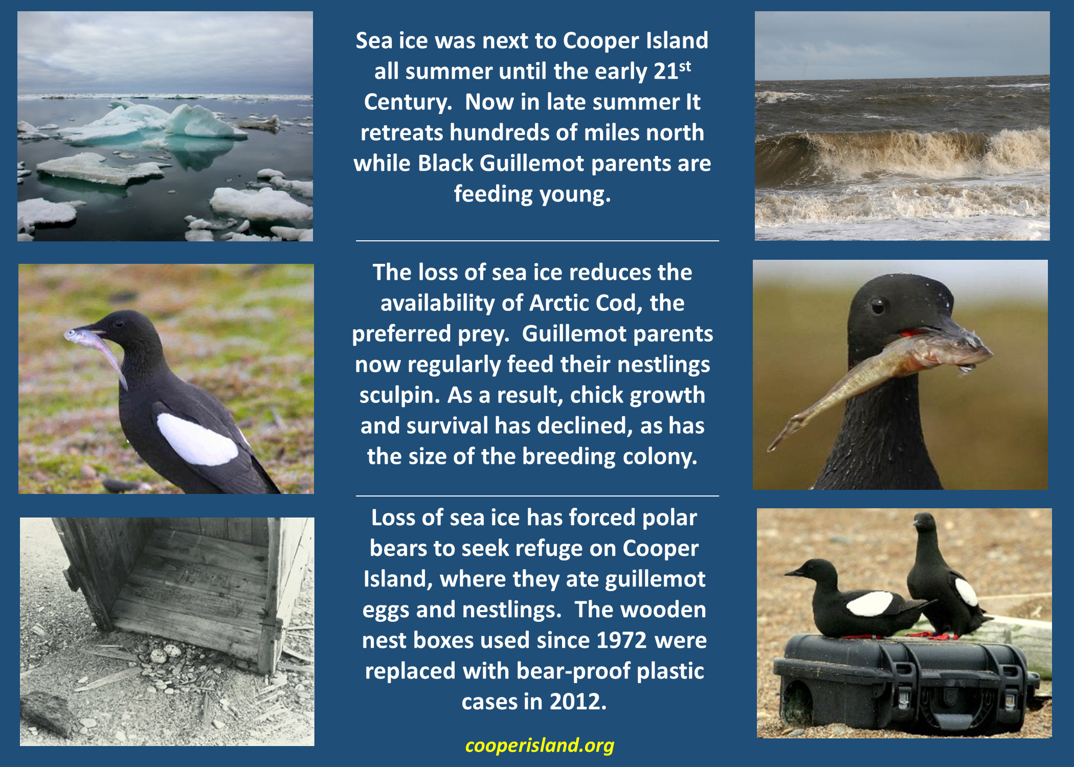
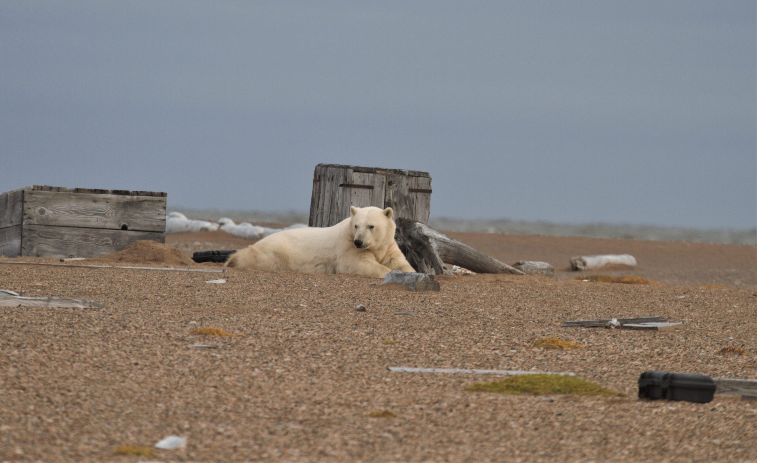
Photos


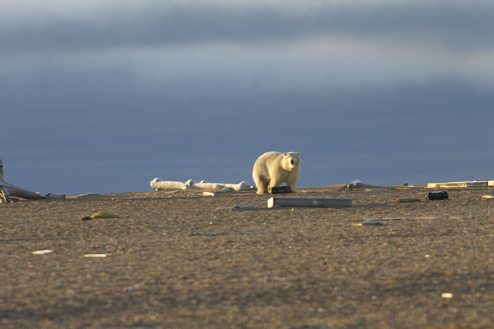


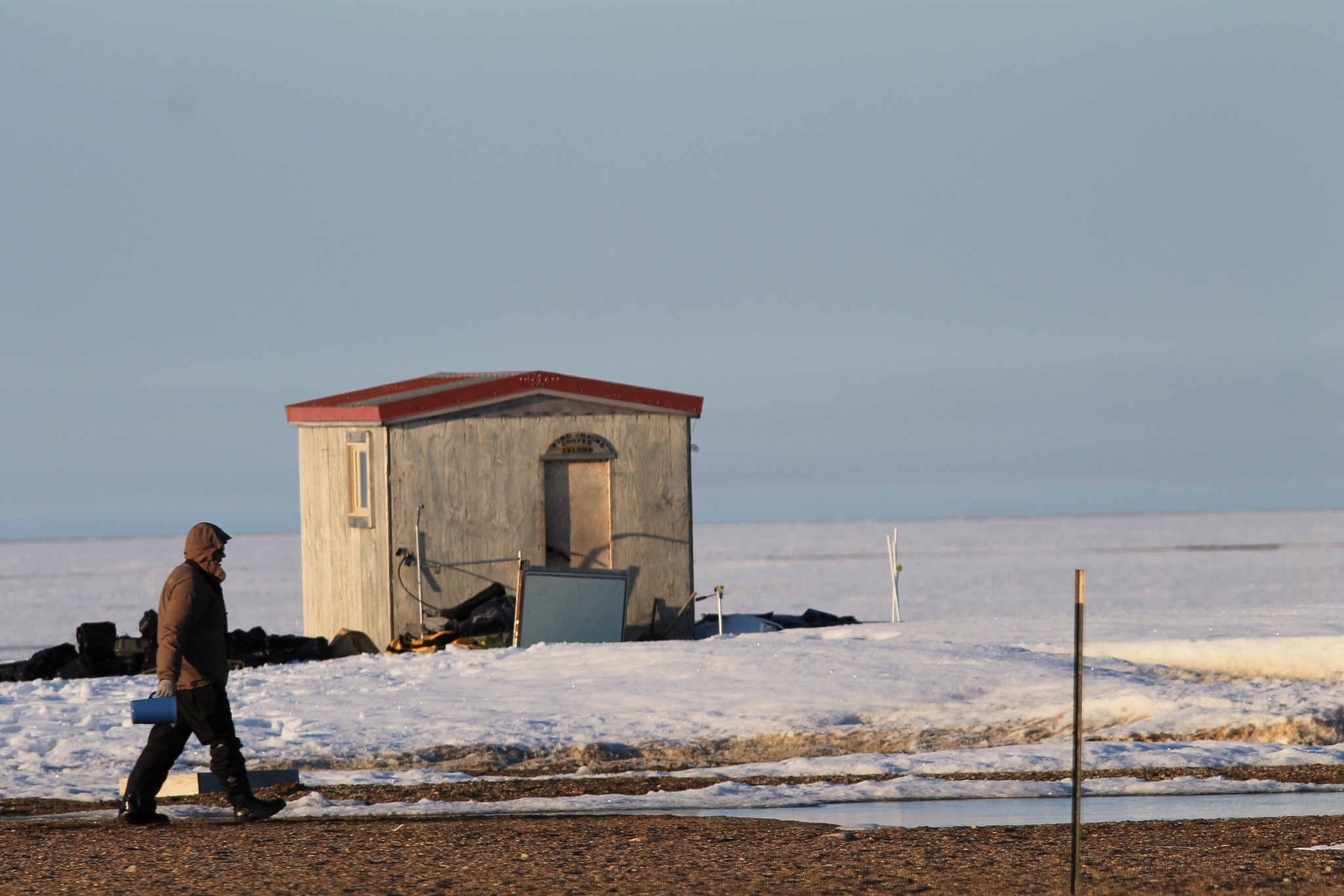

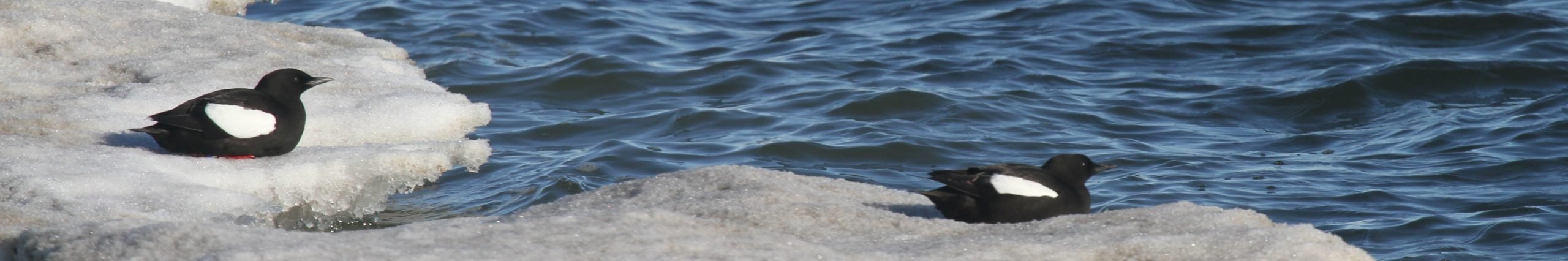
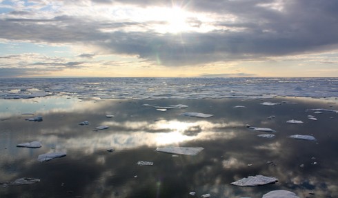

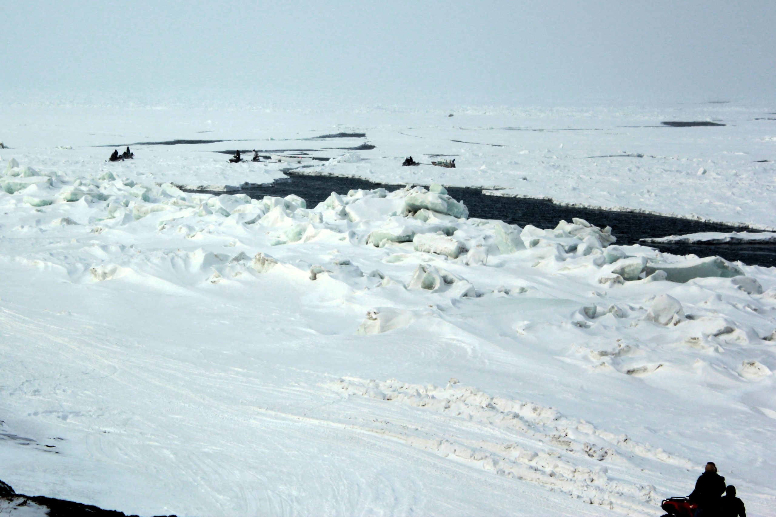
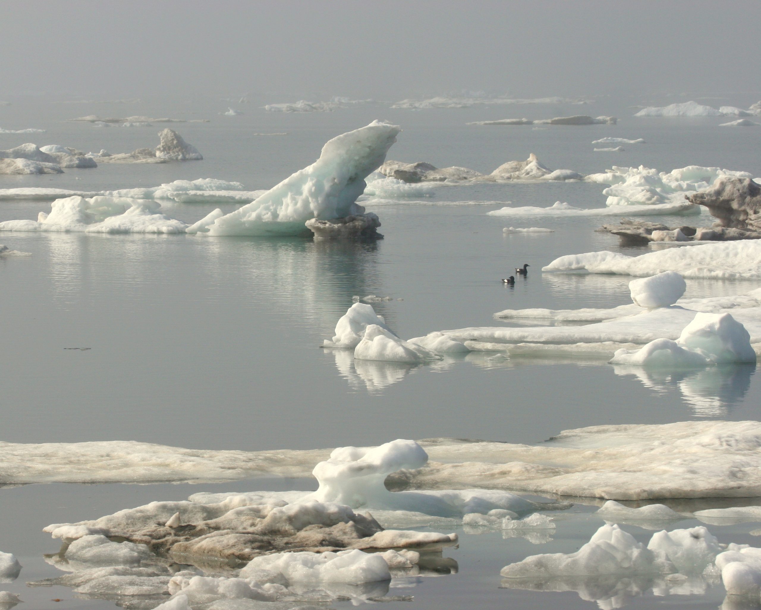
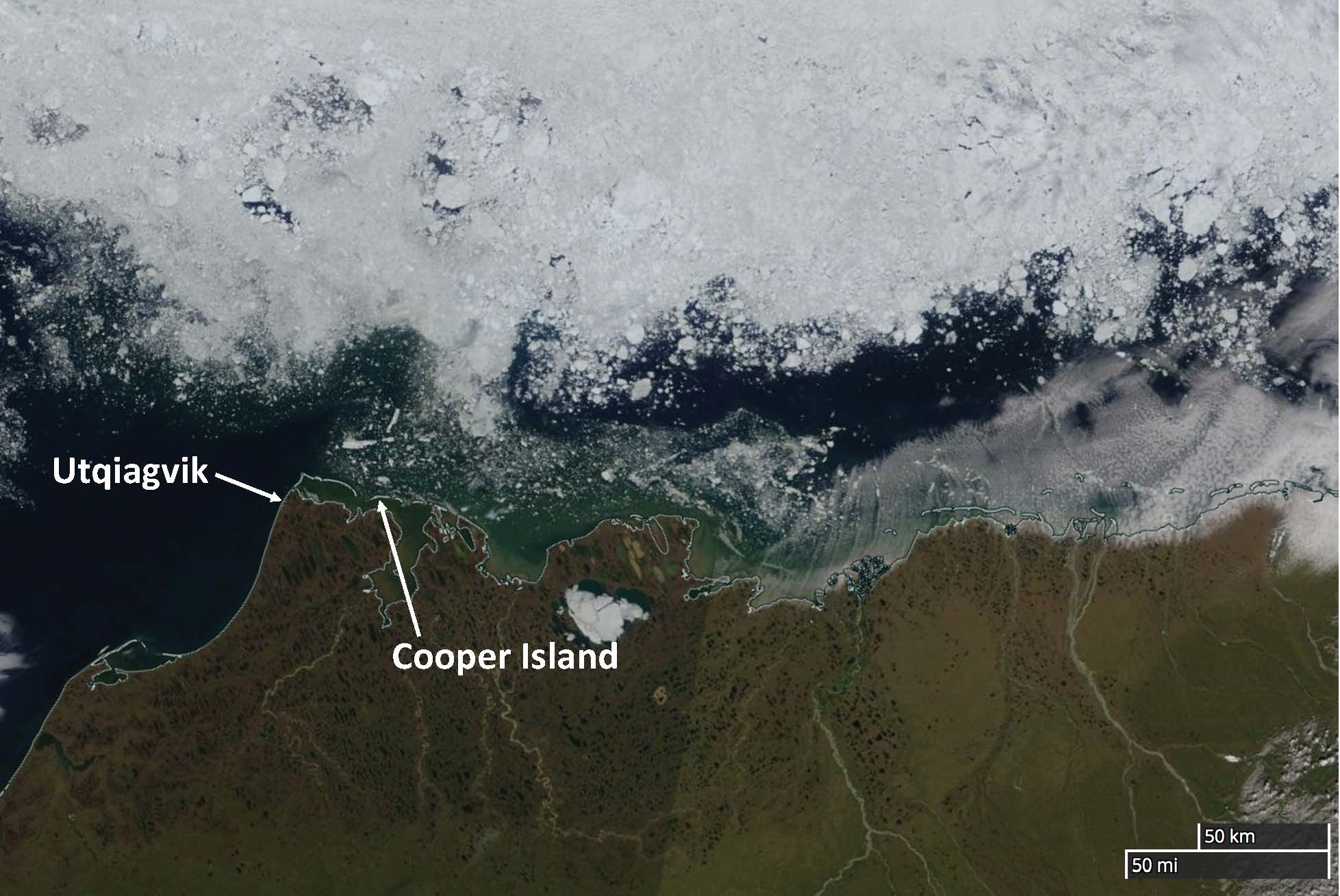
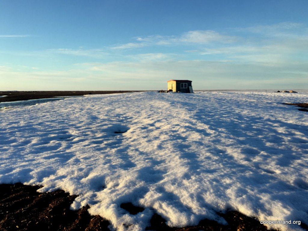
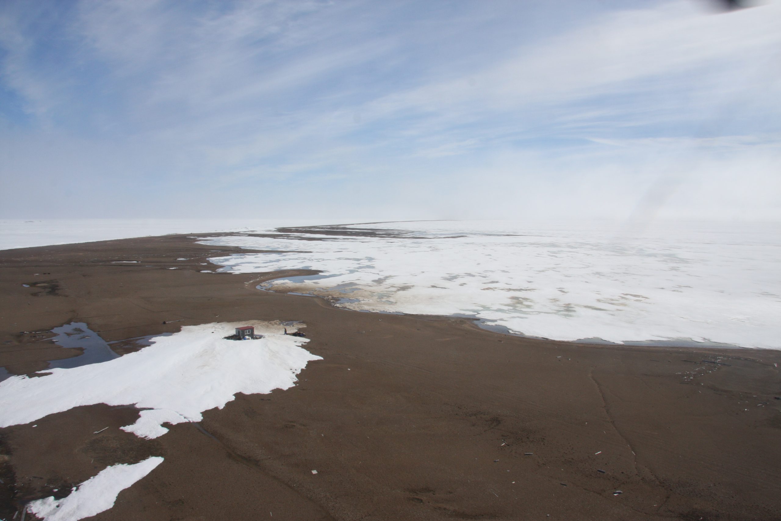
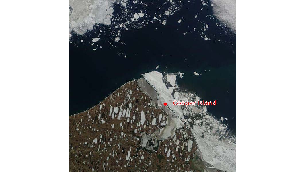
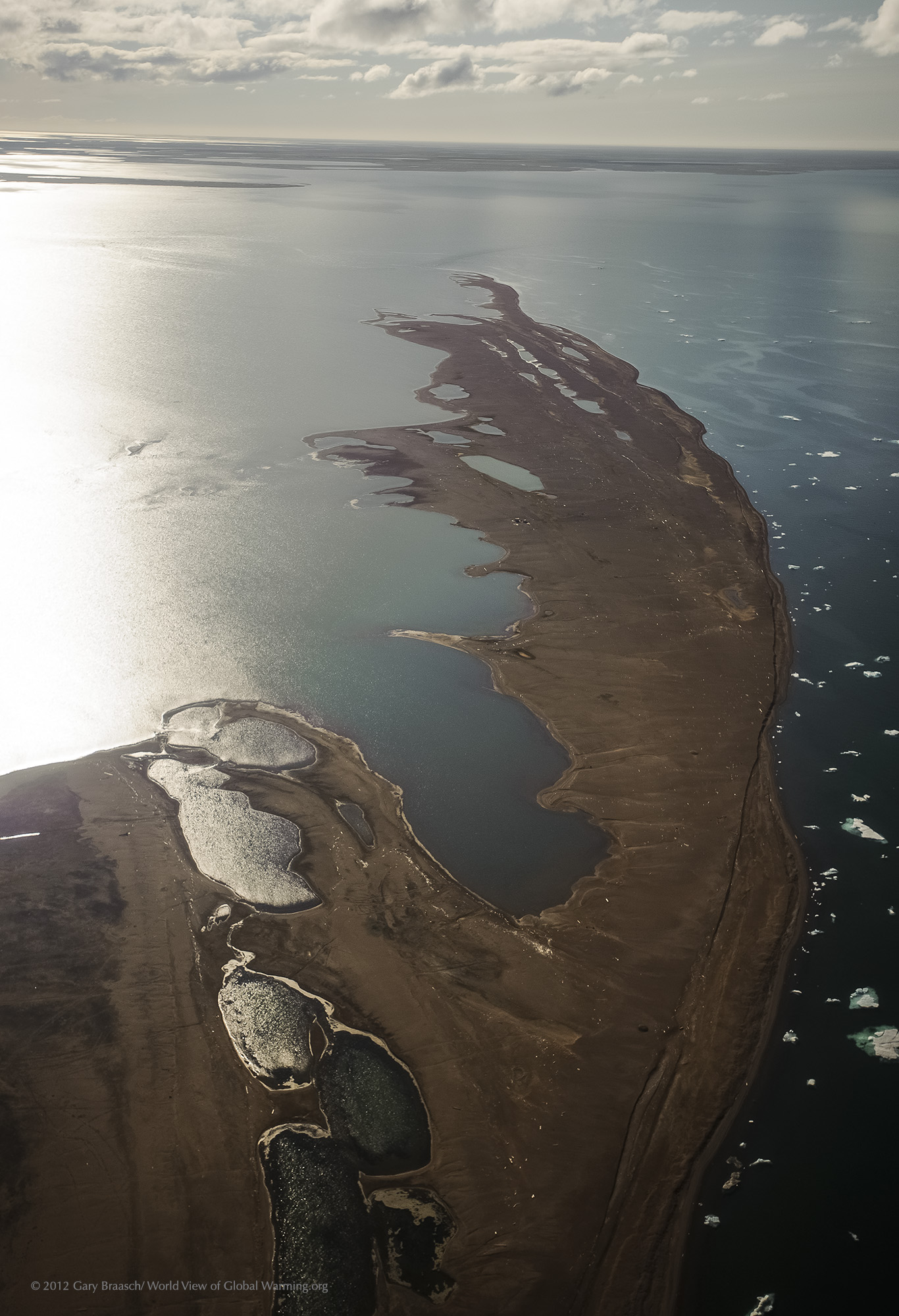
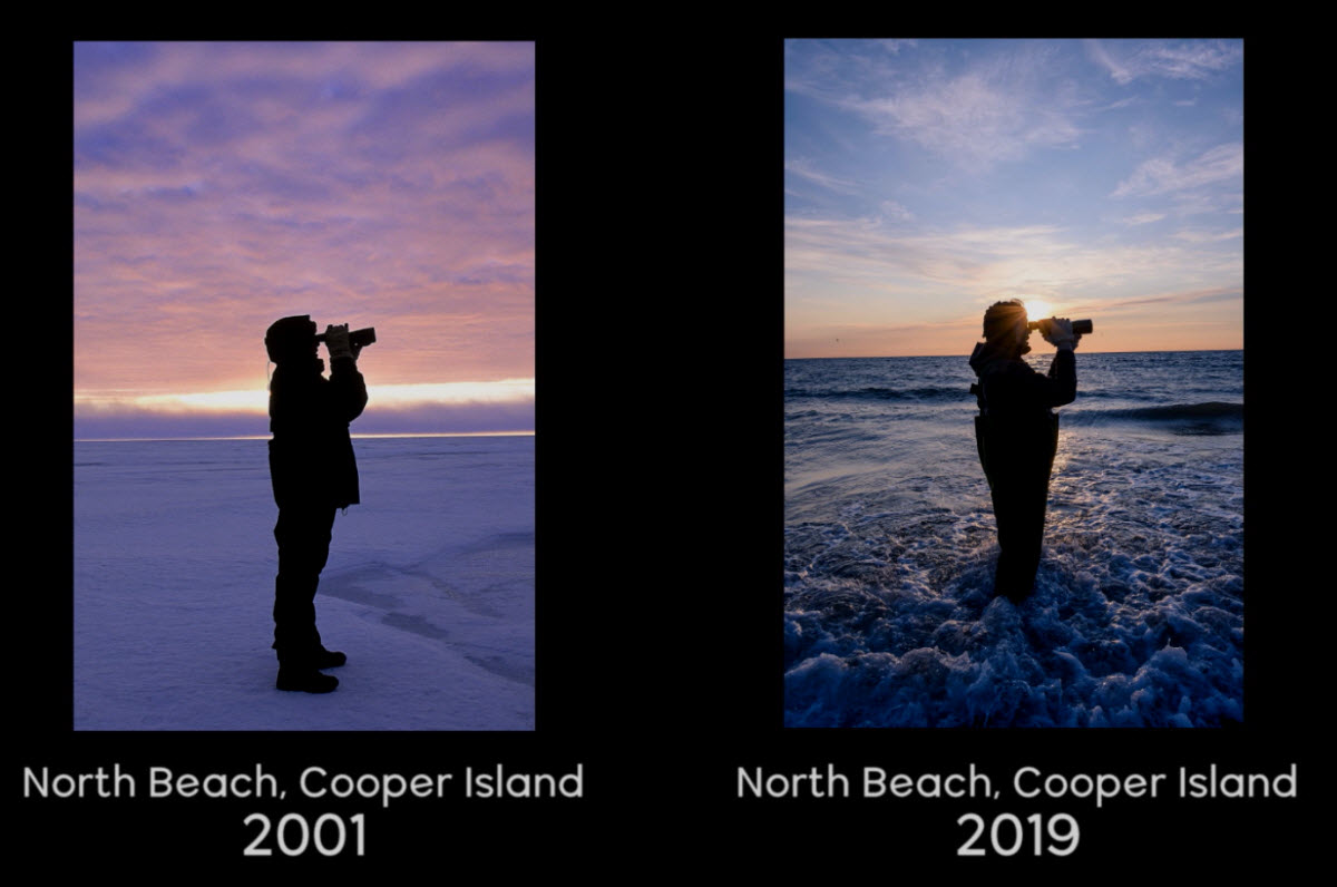
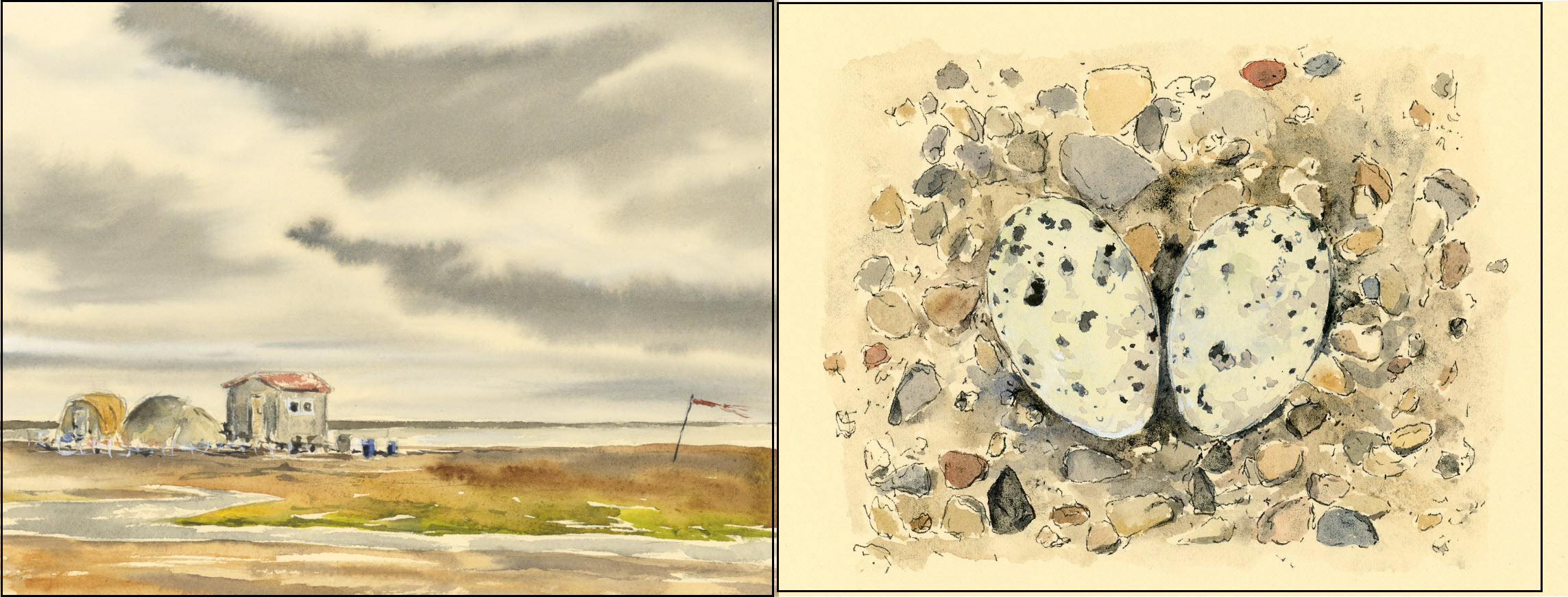
Mid-summer ice north of Cooper Island 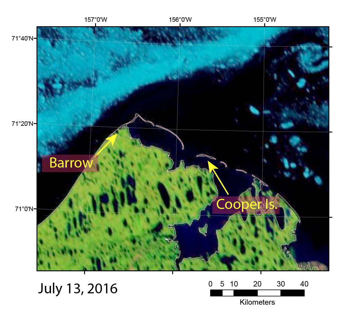
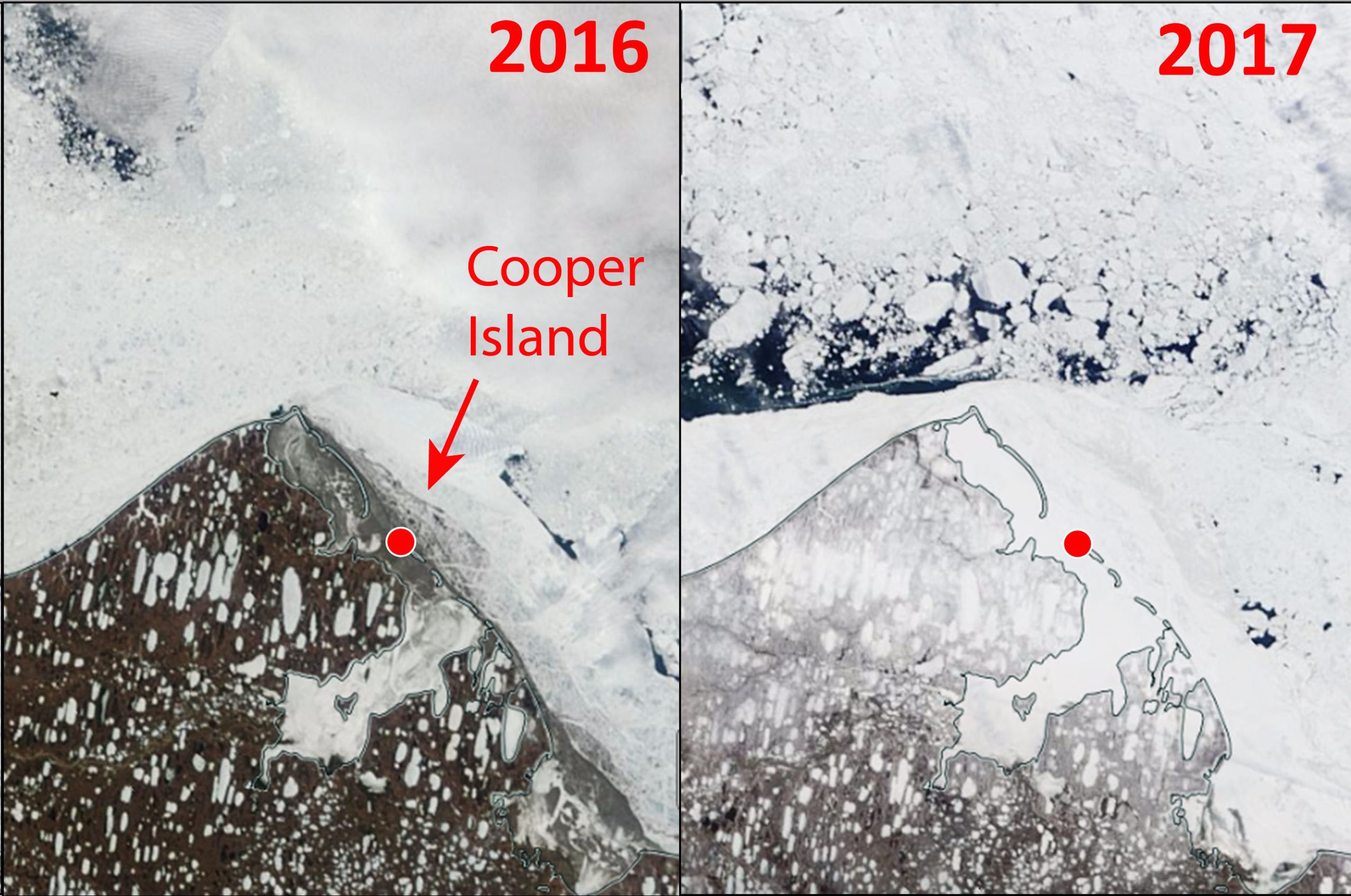
Satellite images of northernmost Alaska on June 11, 2016, and June 11, 2017. MODIS images obtained from NASA Worldview 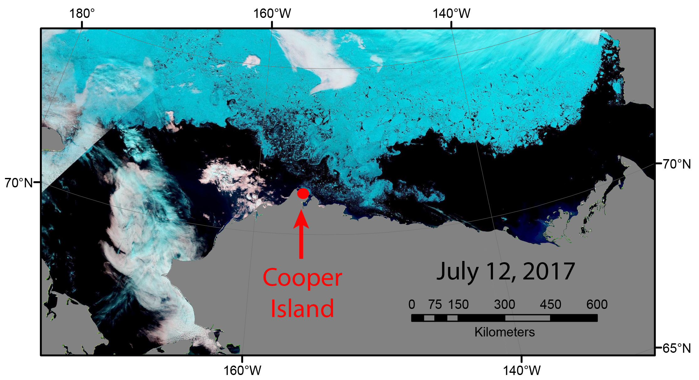


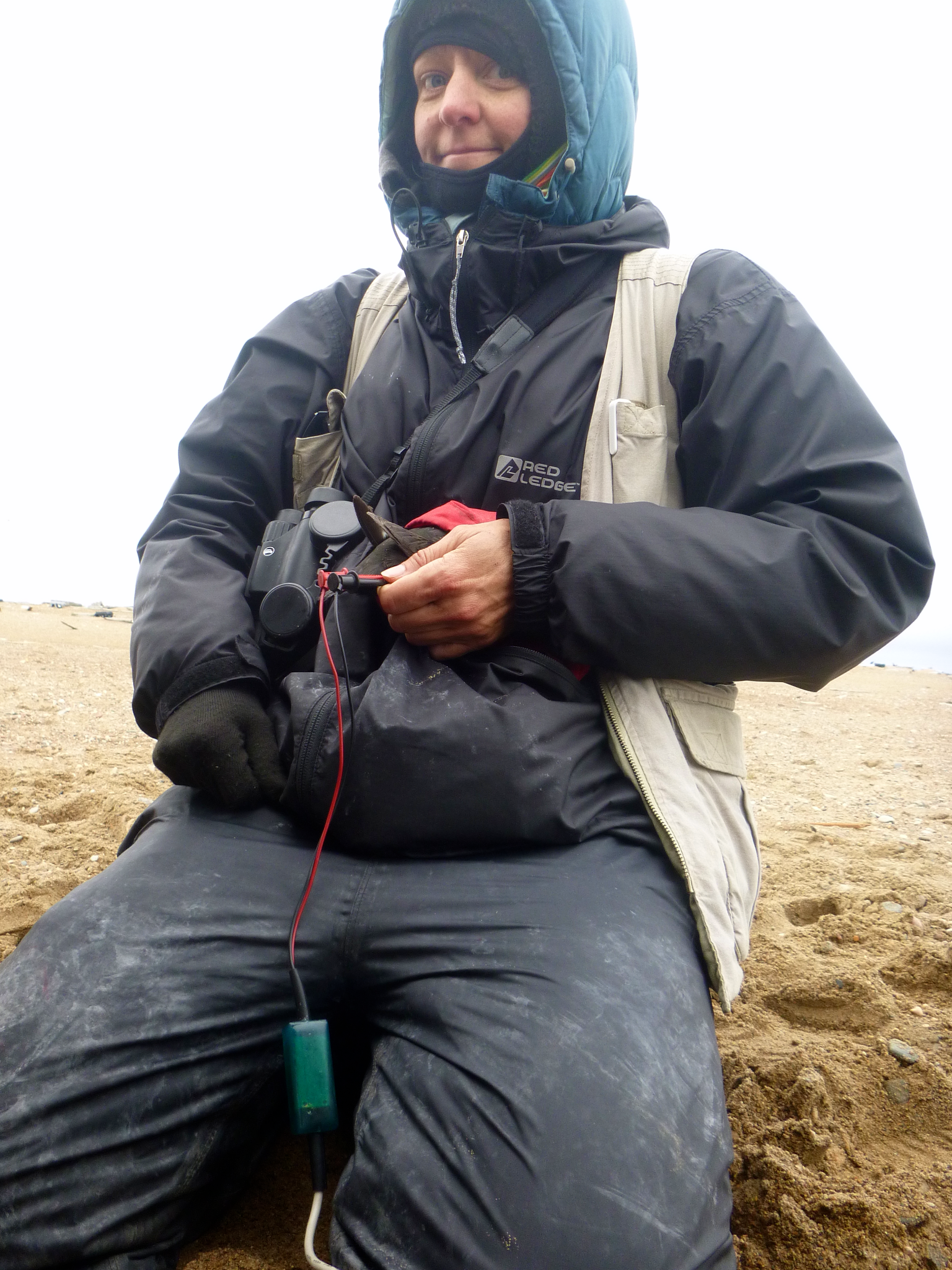
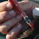
Light-sensitive geolocation and activity data loggers help us learn where the Black Guillemots go during the winter. Image Credit: George Divoky 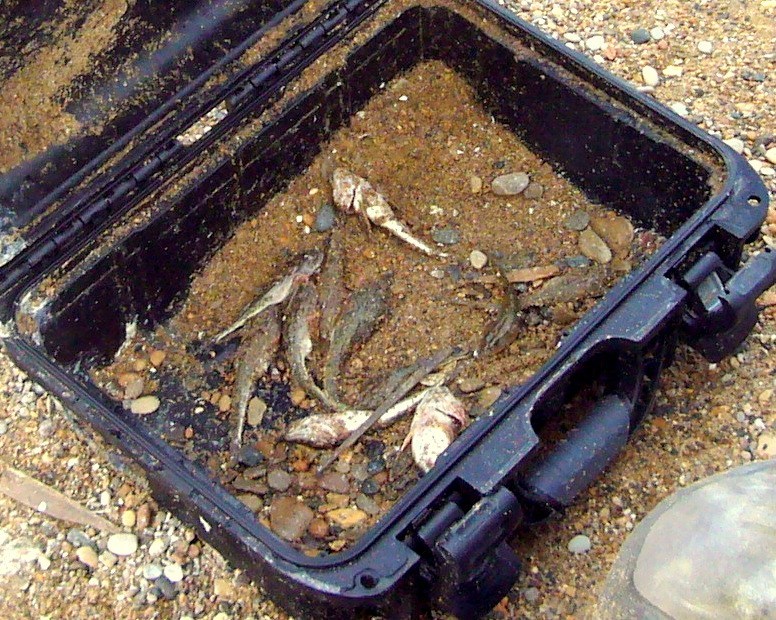
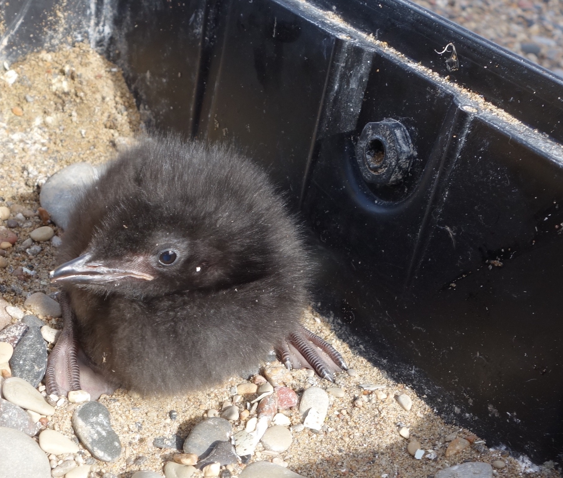
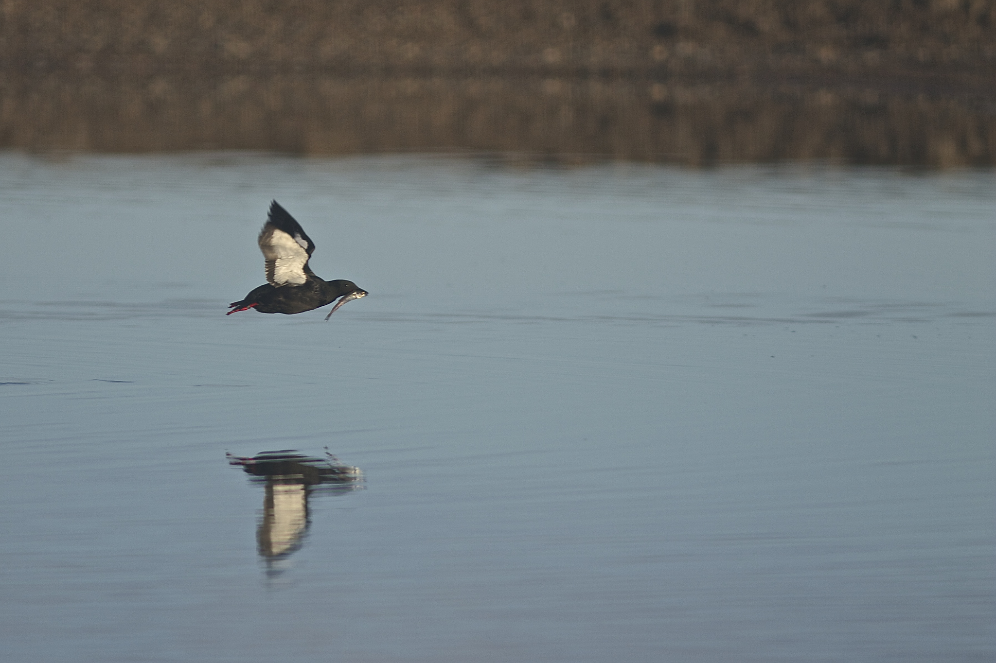
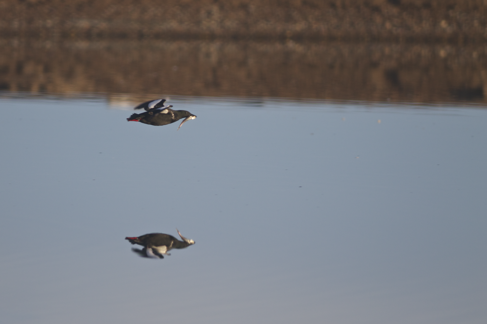
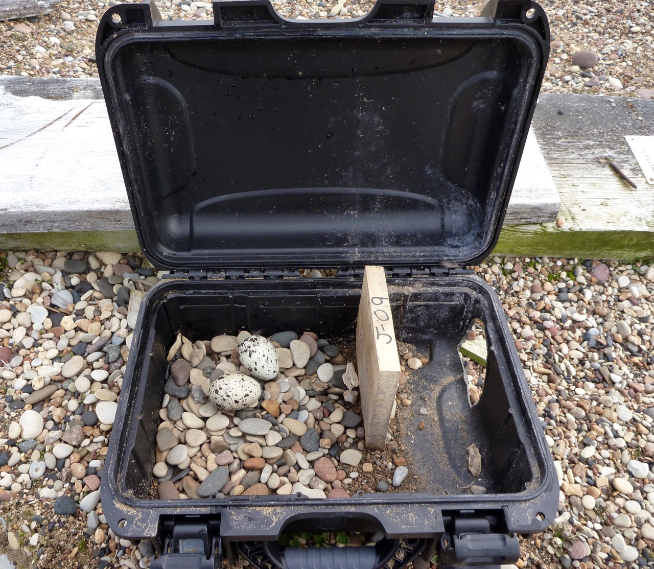
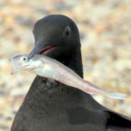
Blob sculpin, bony fish guillemot chicks struggle to consume, lay uneaten in a nest case. Image credit: George Divoky 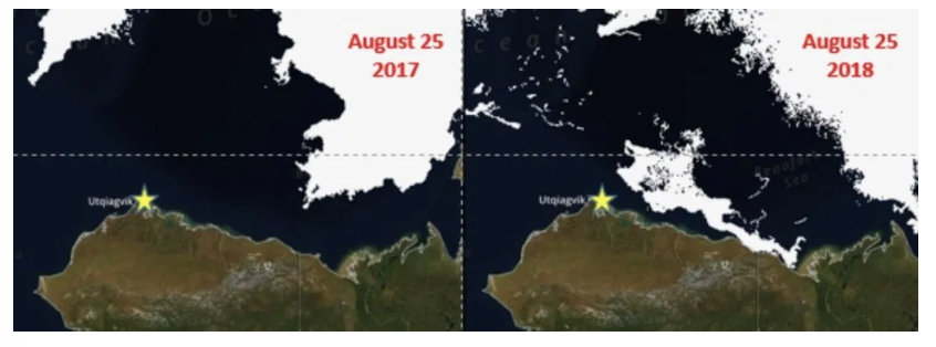
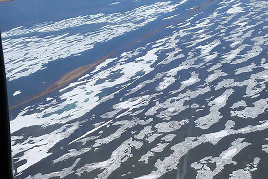
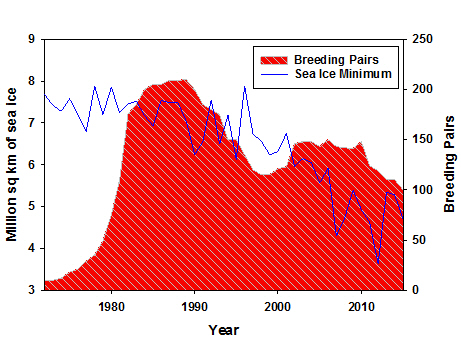
A large remnant of sea ice helped keep Arctic Cod in the Black Guillemot’s foraging range this summer. Image Credit: Alaska Ocean Observing System 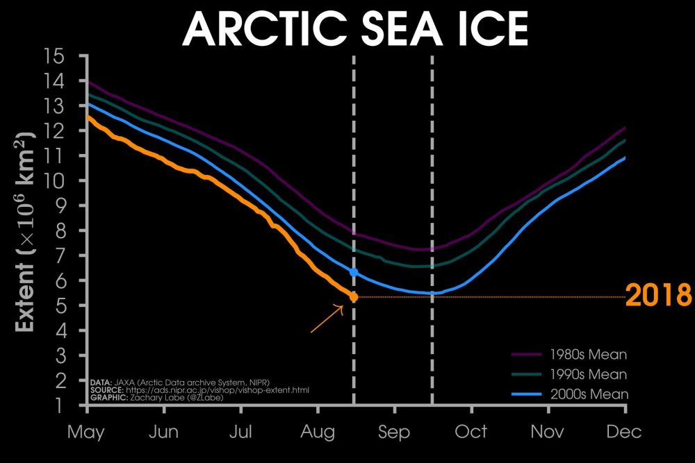
Arctic sea ice grows and shrinks during the year (seasonal cycle), reaching its annual minimum extent at the end of every summer (early-mid September). Currently, 2018’s sea ice extent is below the minimums from the 1980, 1990, and 2000 decadal averages. Image Credit: Zach Labe 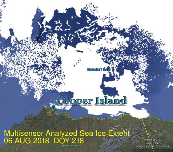
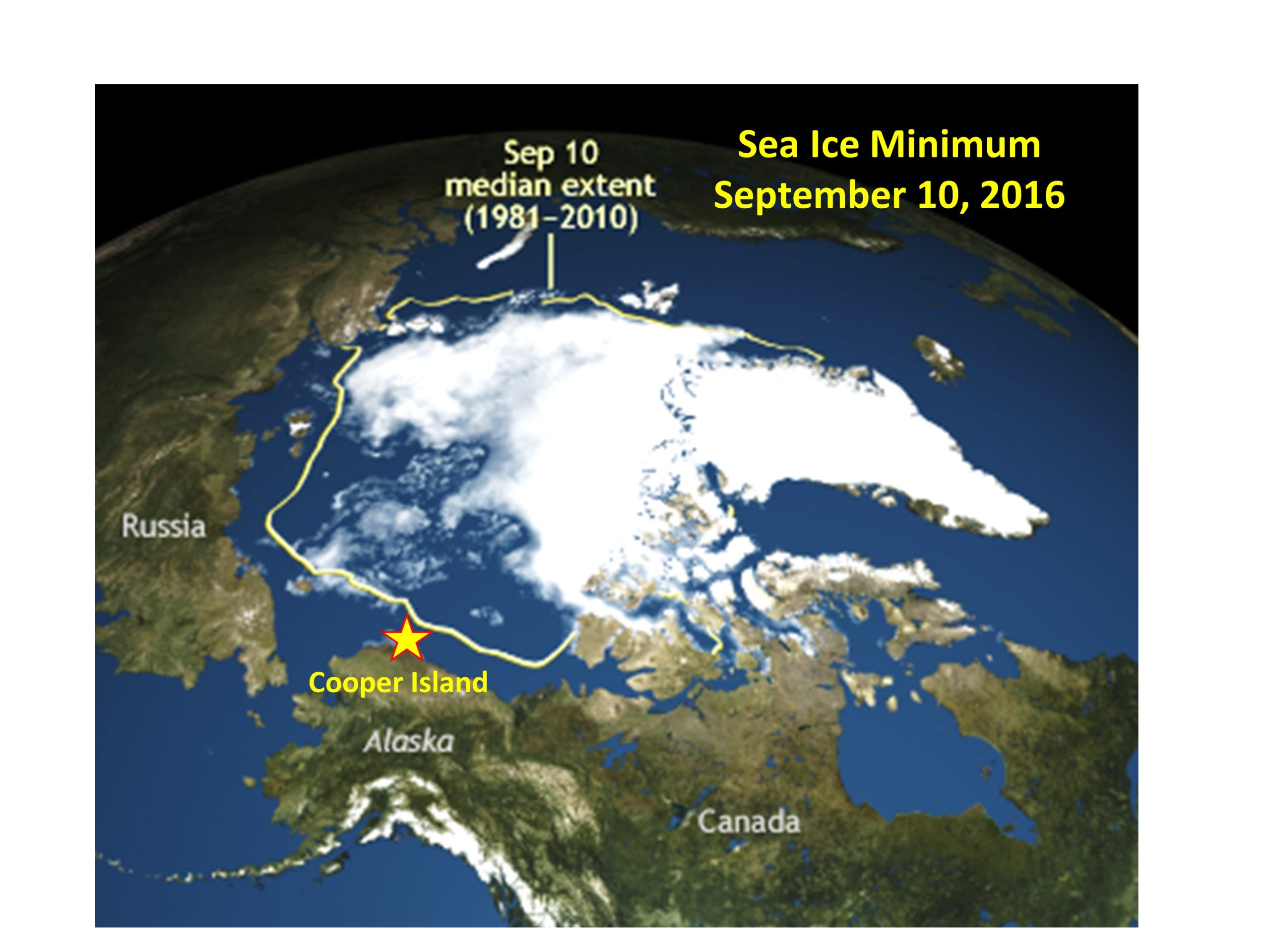
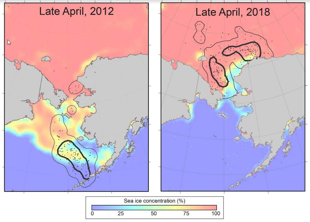
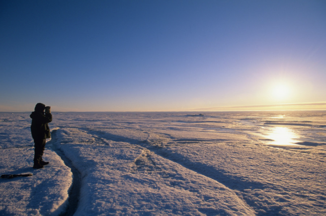
A Multisensor Analyzed Sea Ice Extent (MAISE) image shows why George is seeing ice off of Cooper Island. Image Credit: National Snow and Ice Data Center (NSIDC) 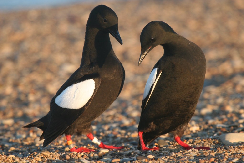
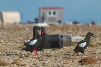
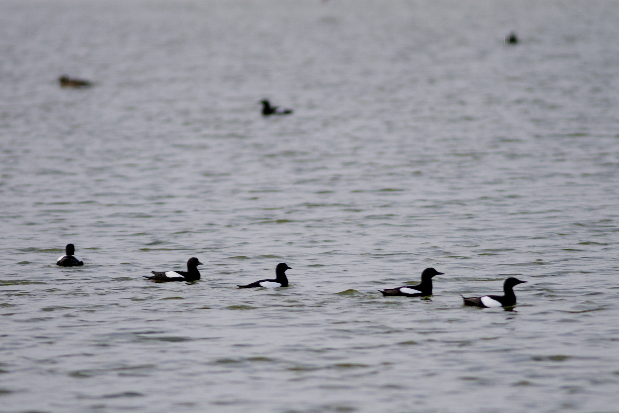
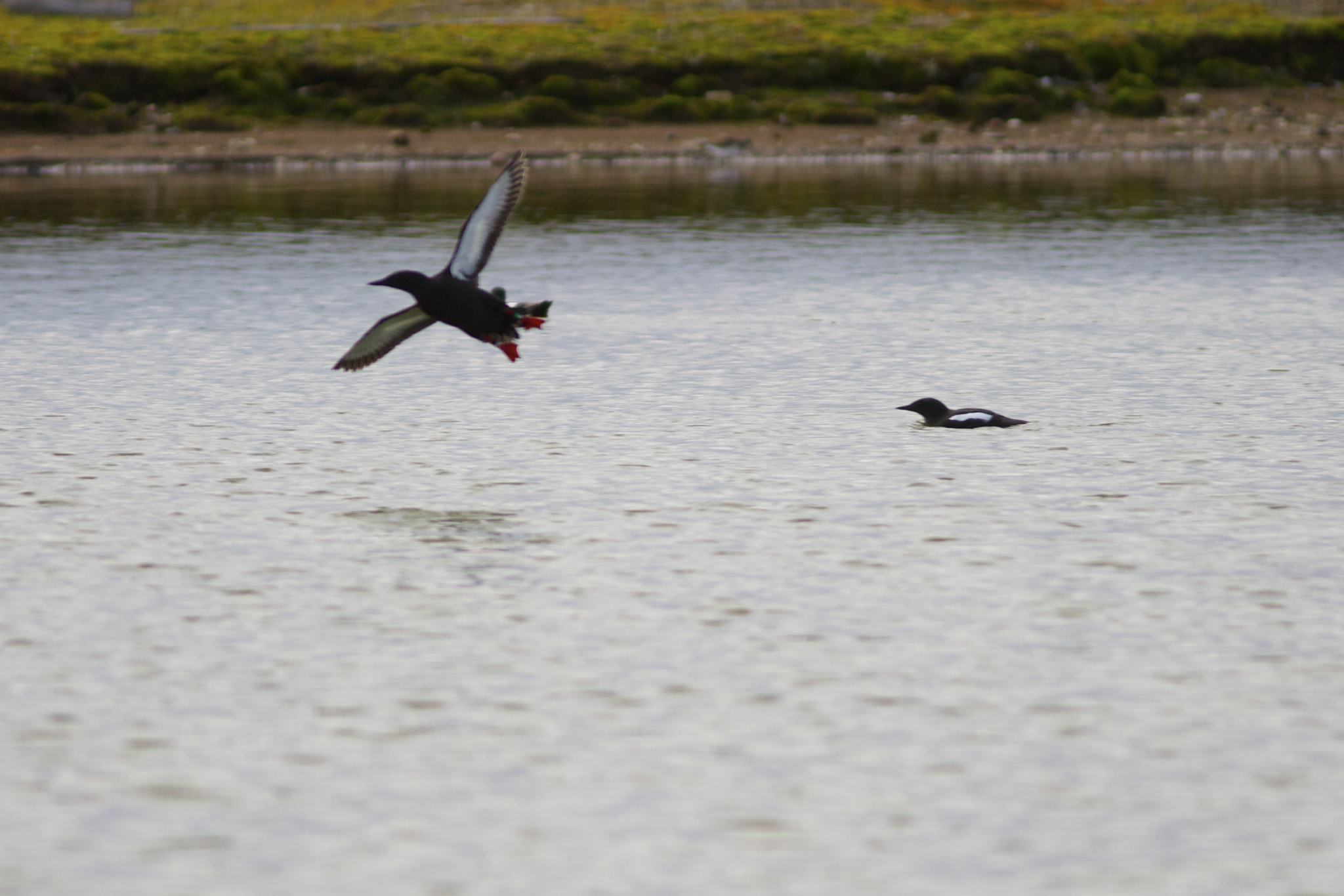
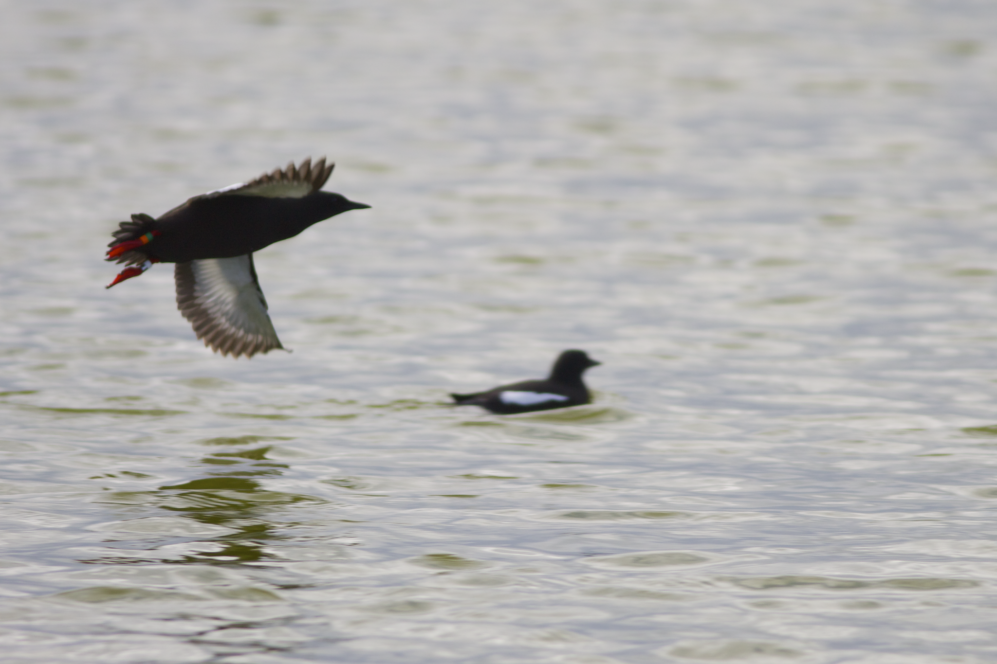
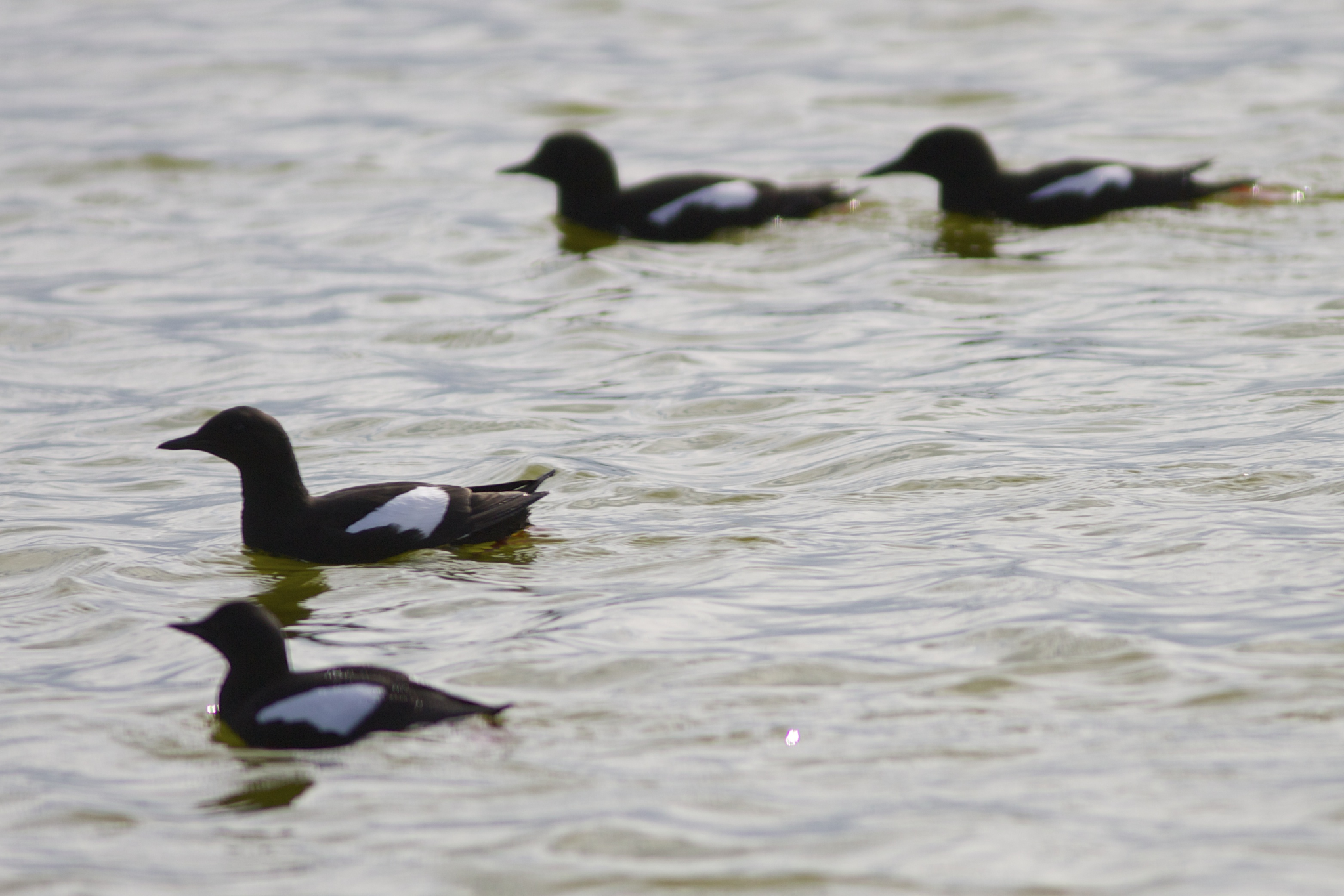
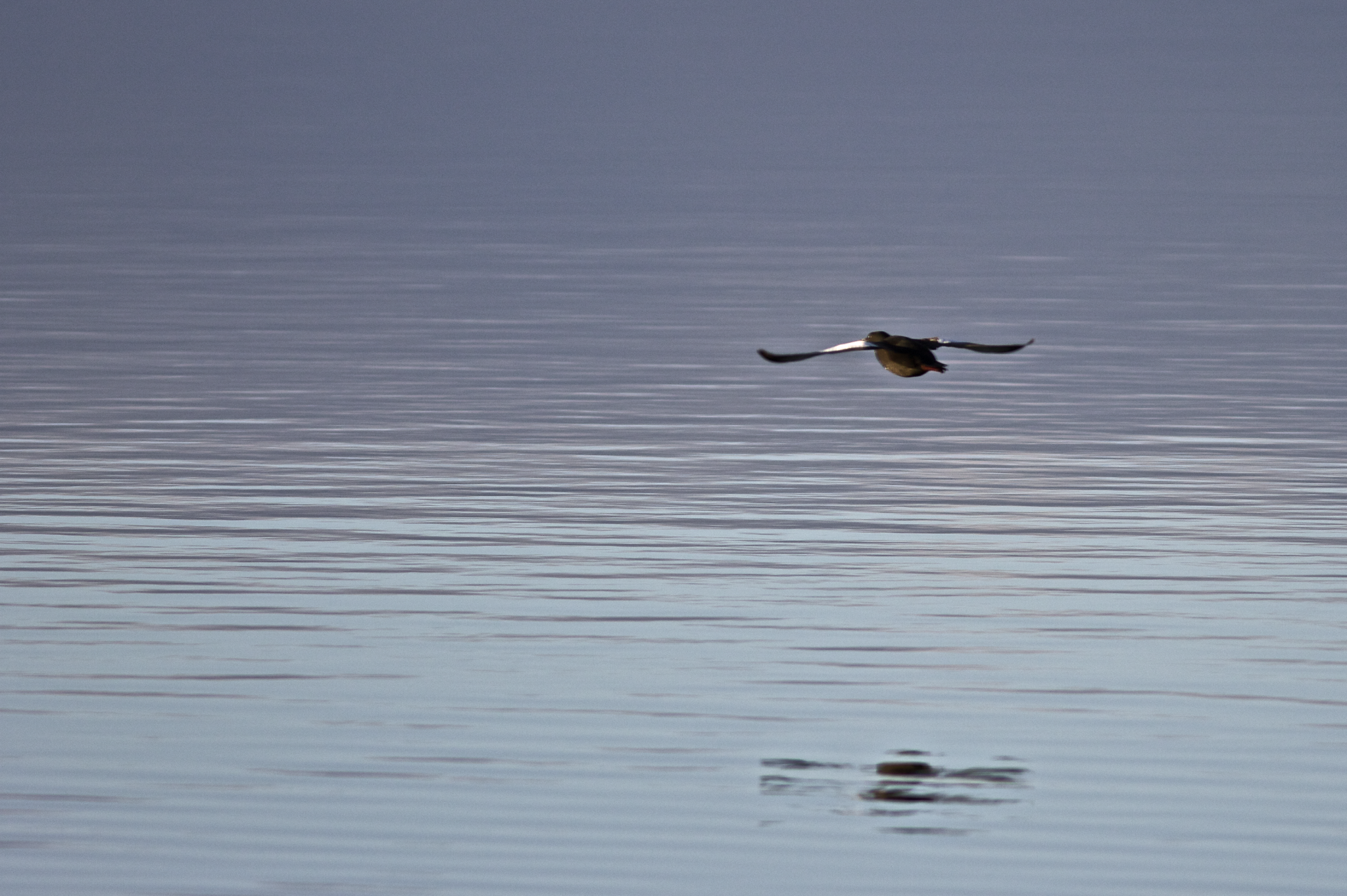
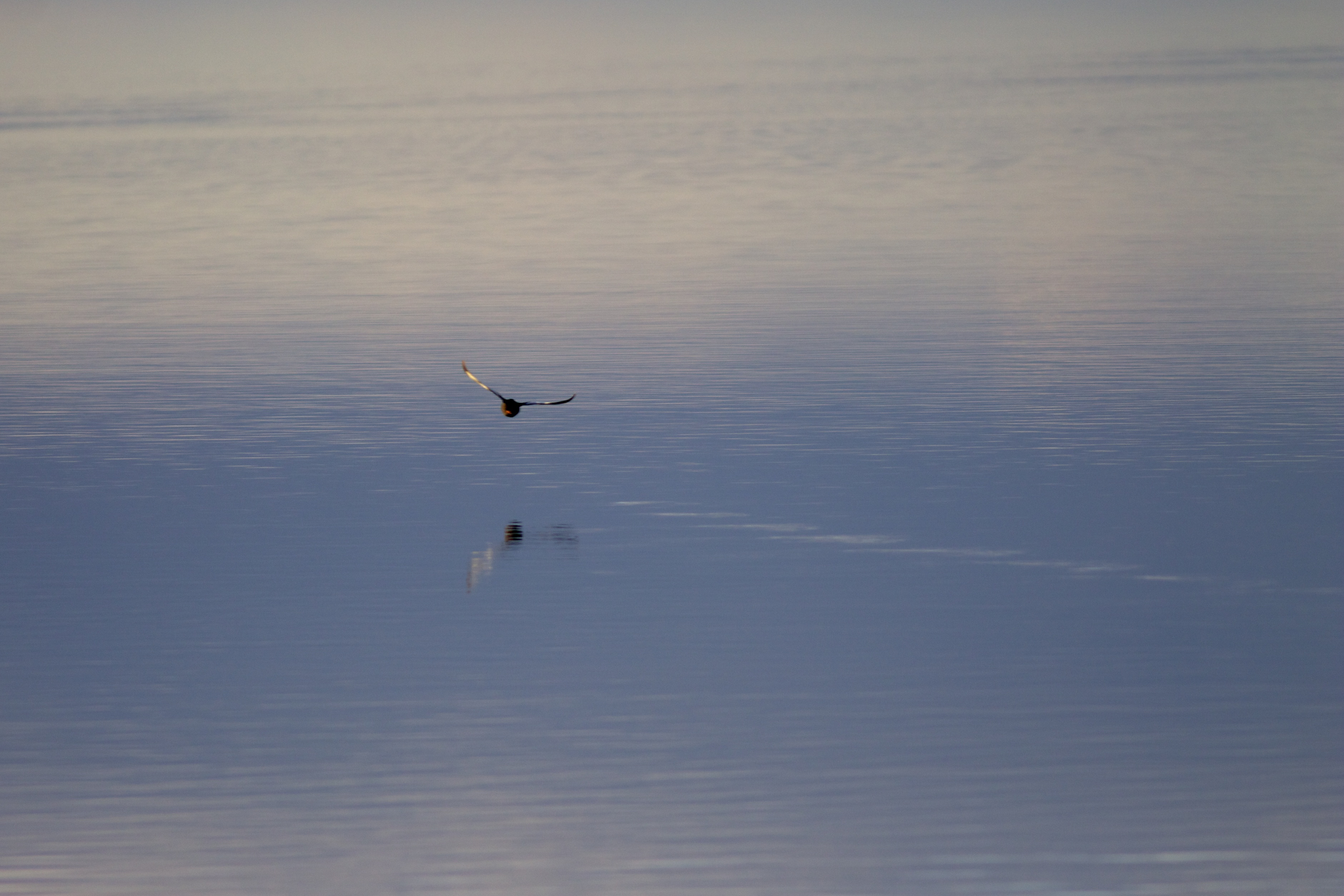
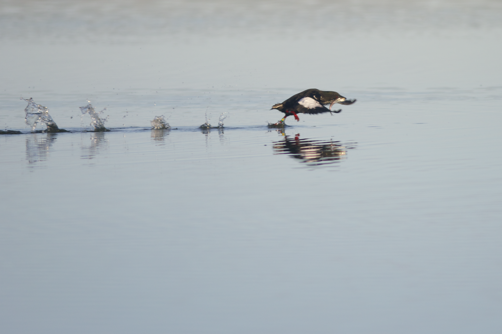
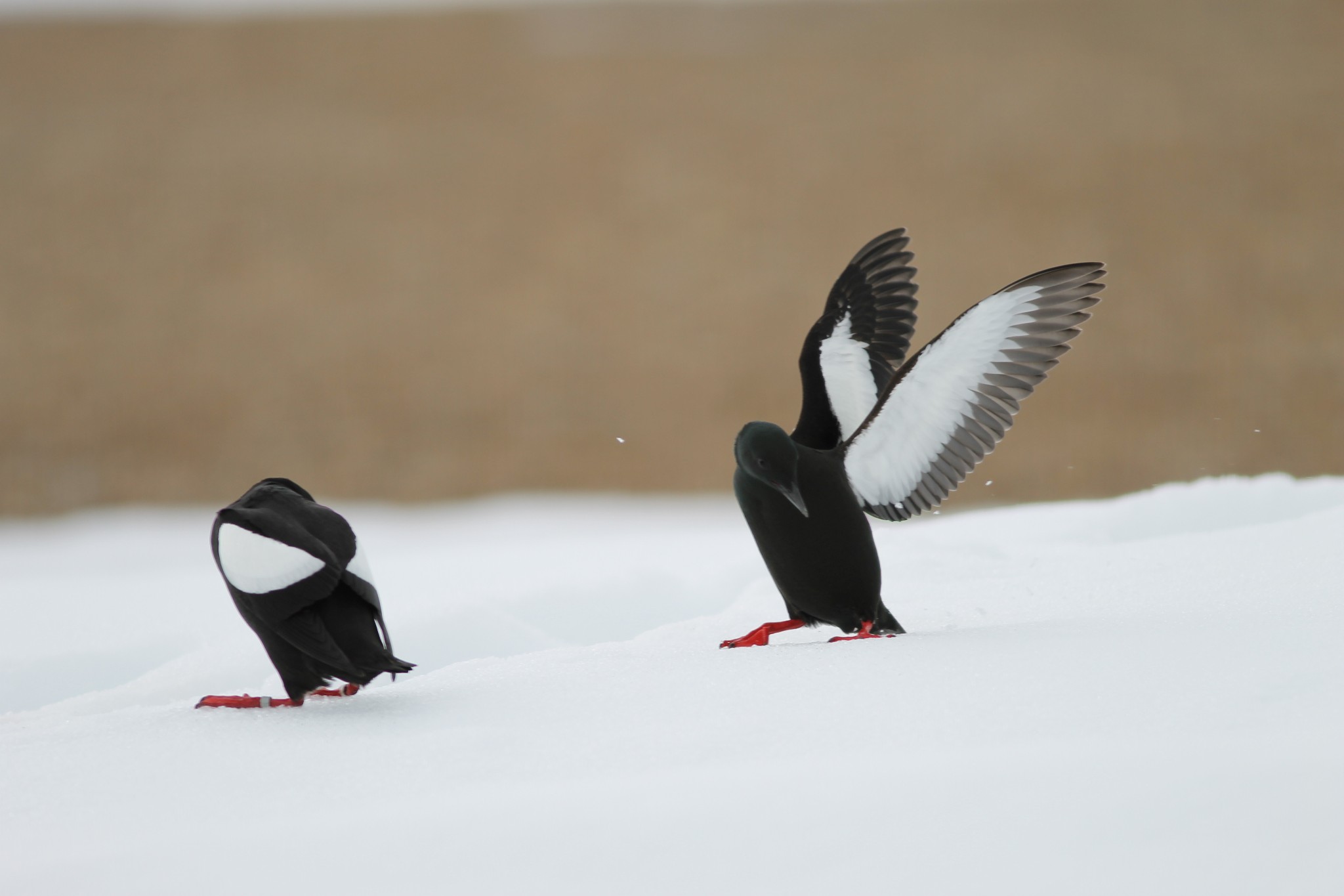
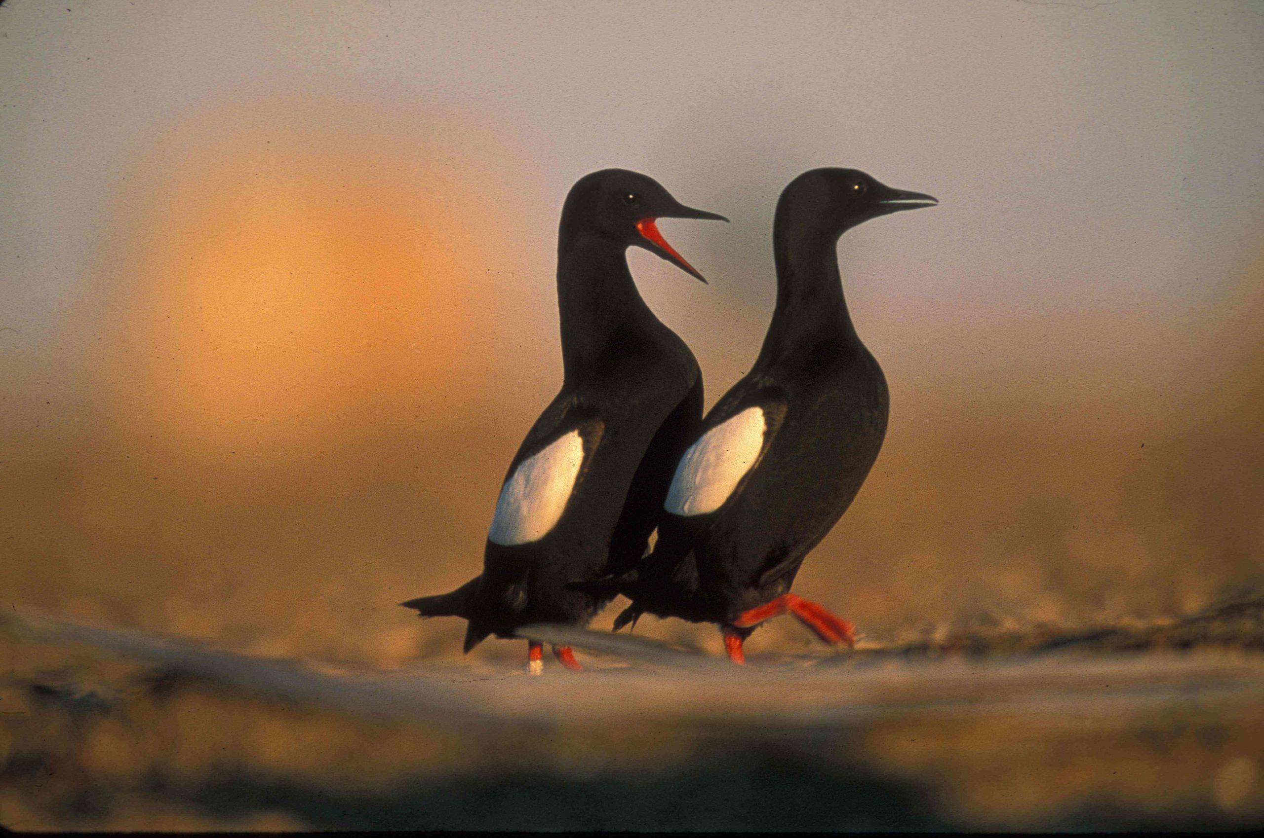
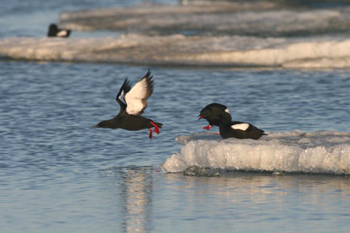
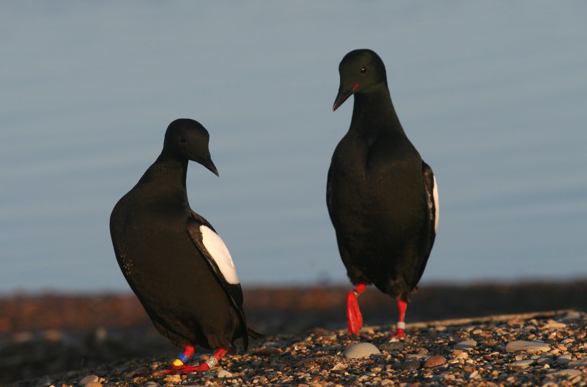
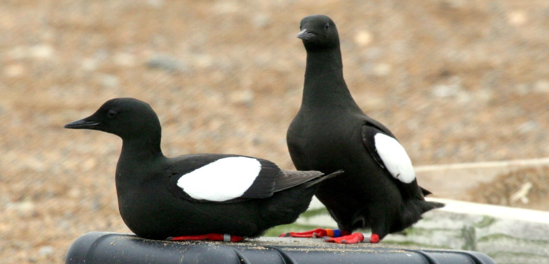
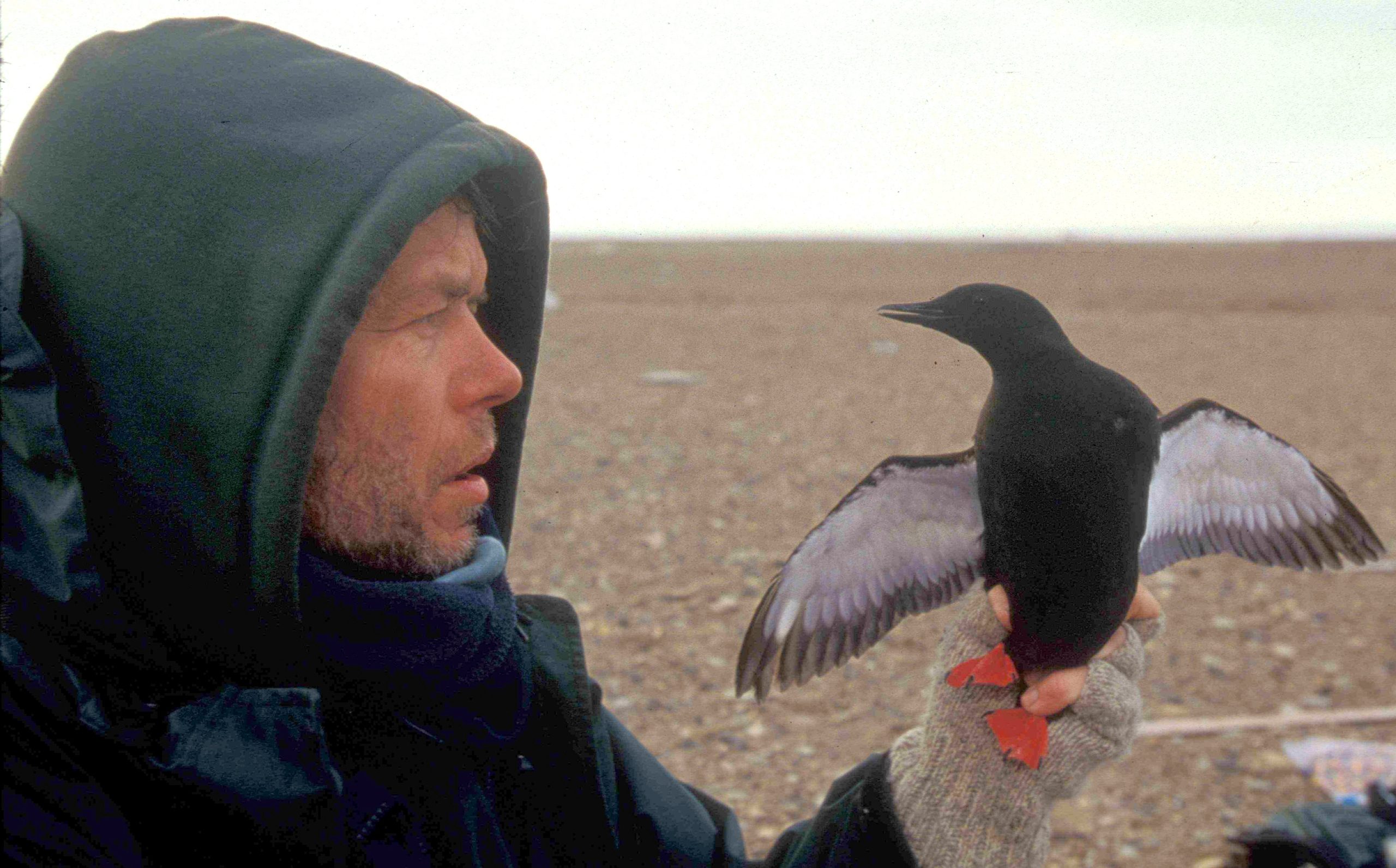
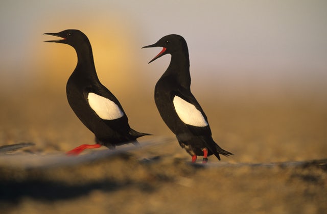
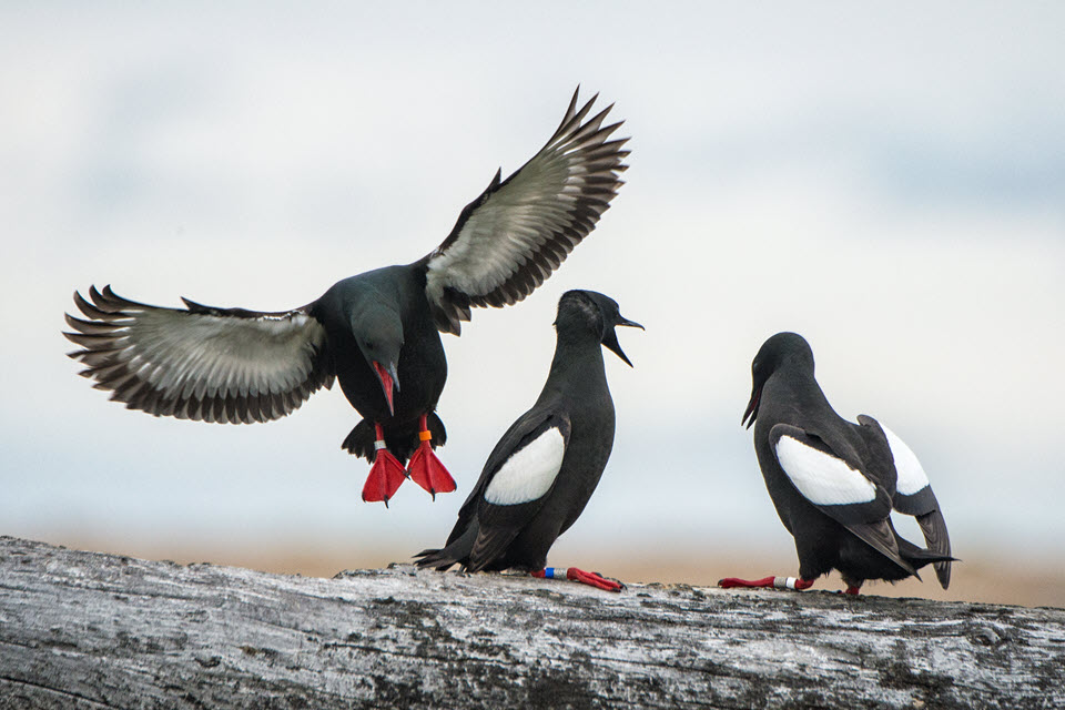
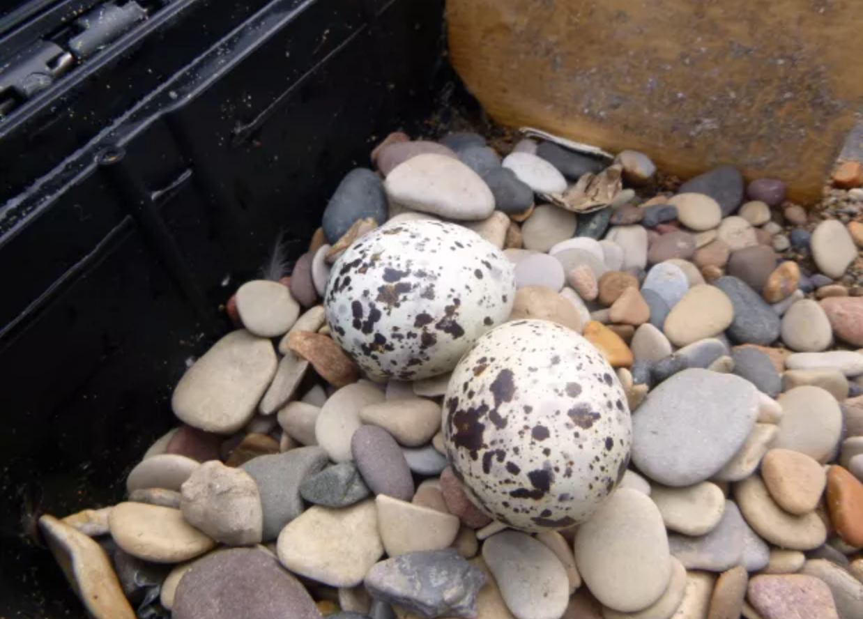
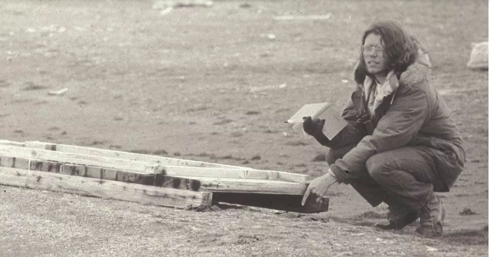
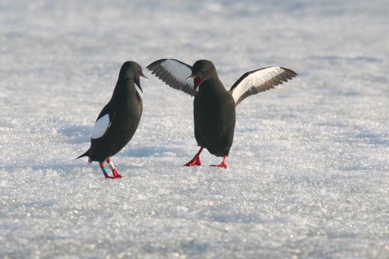
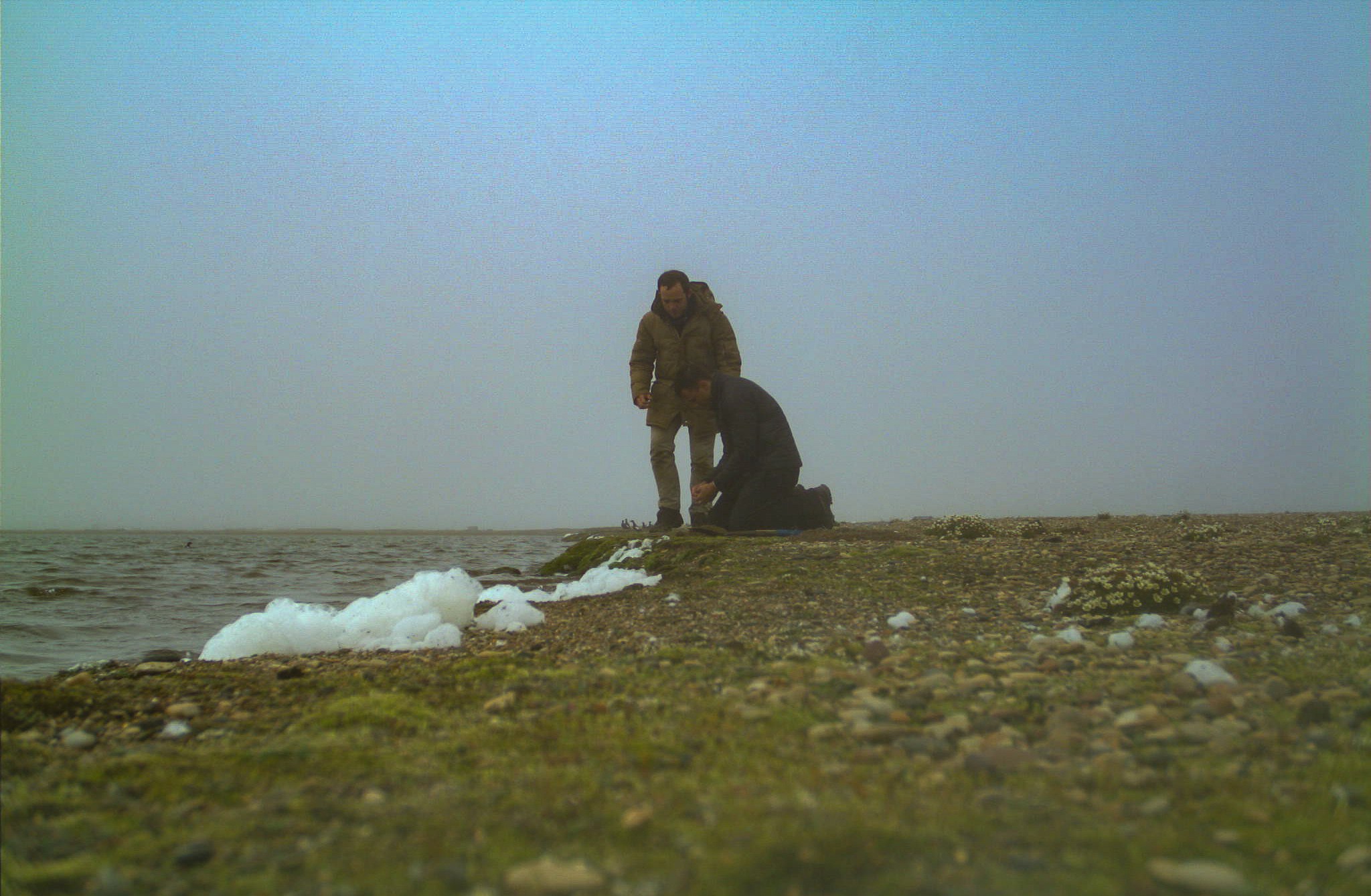
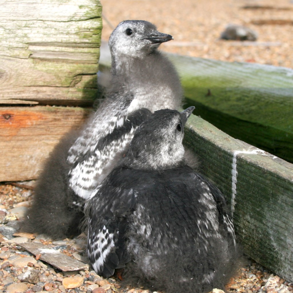
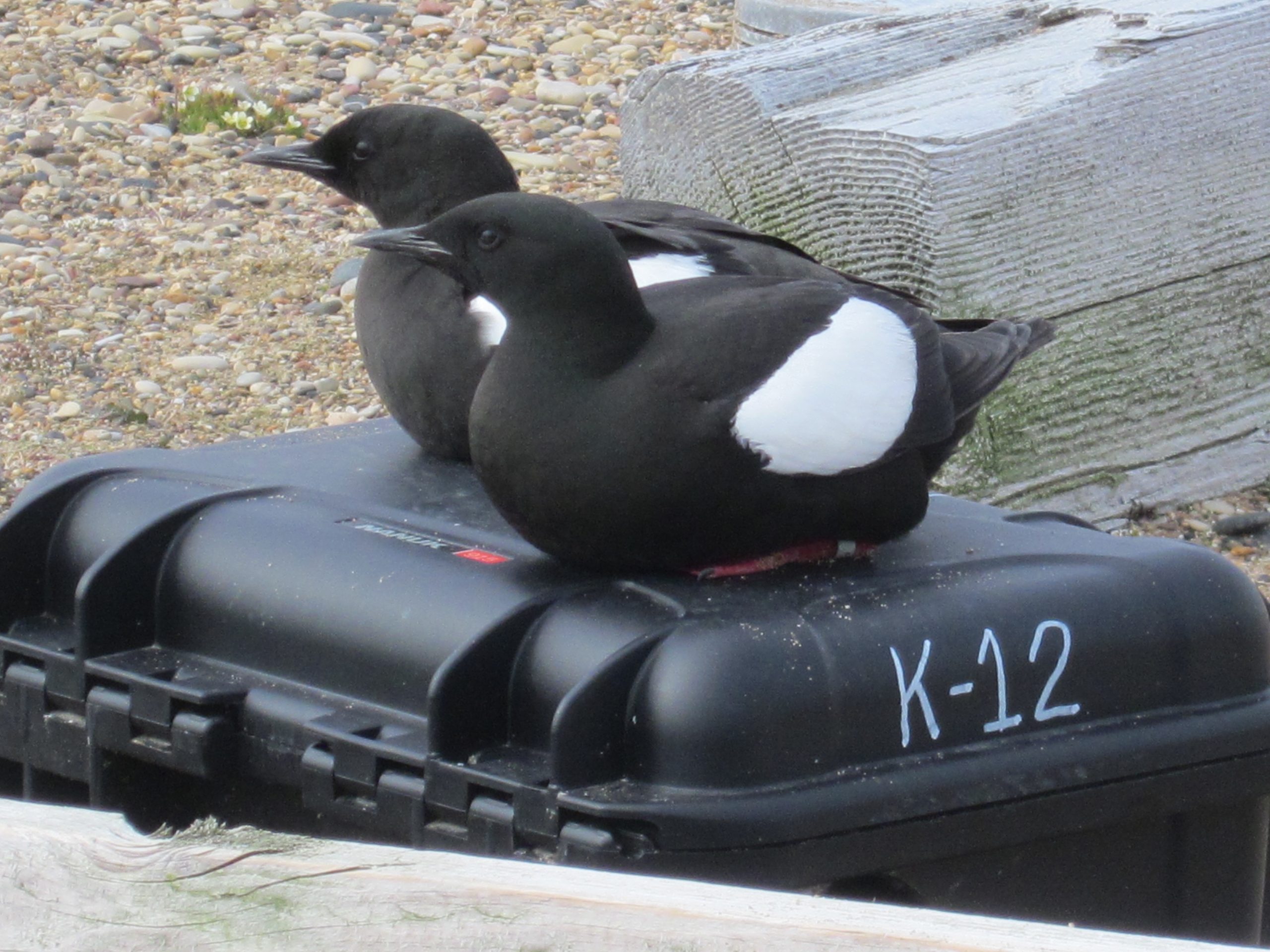
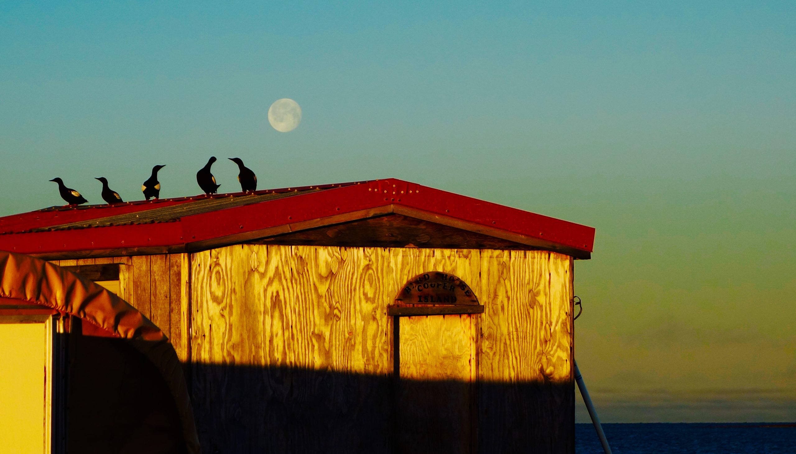
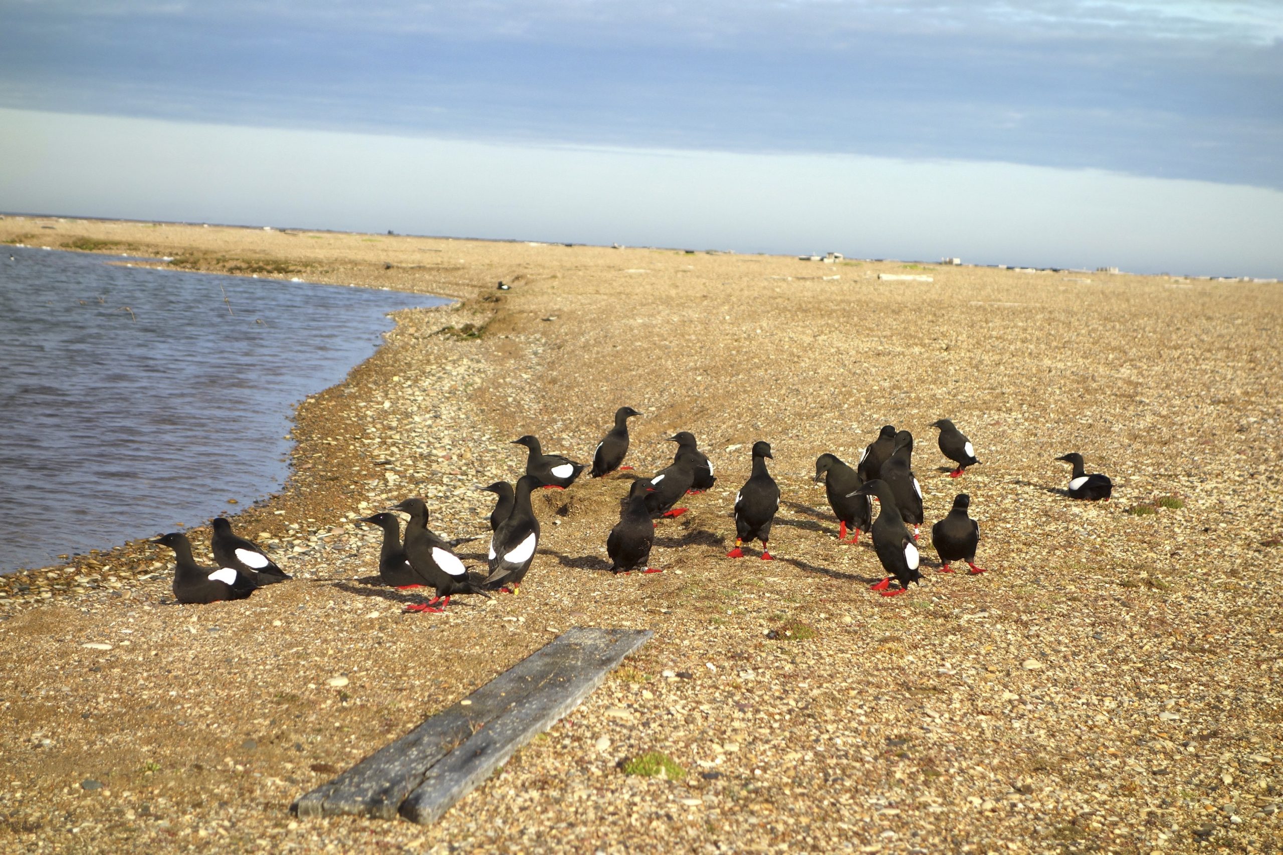
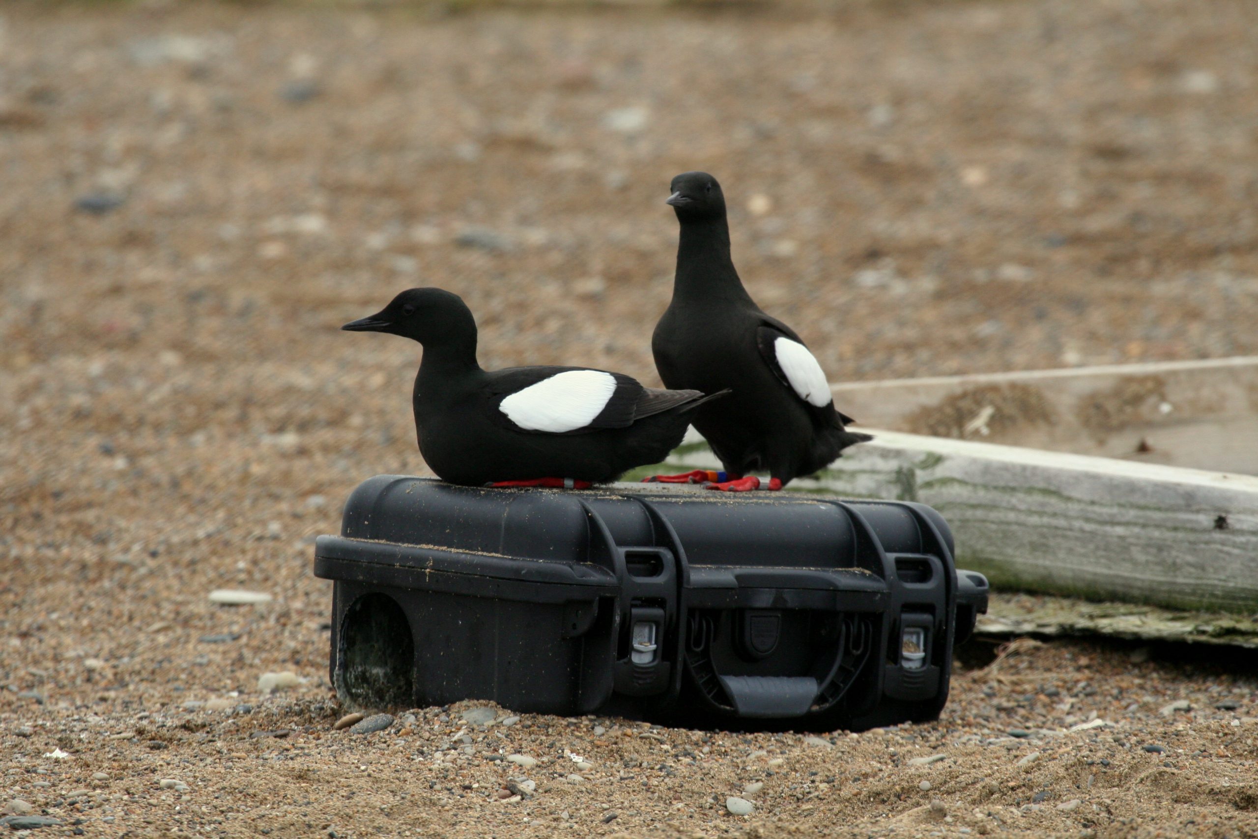
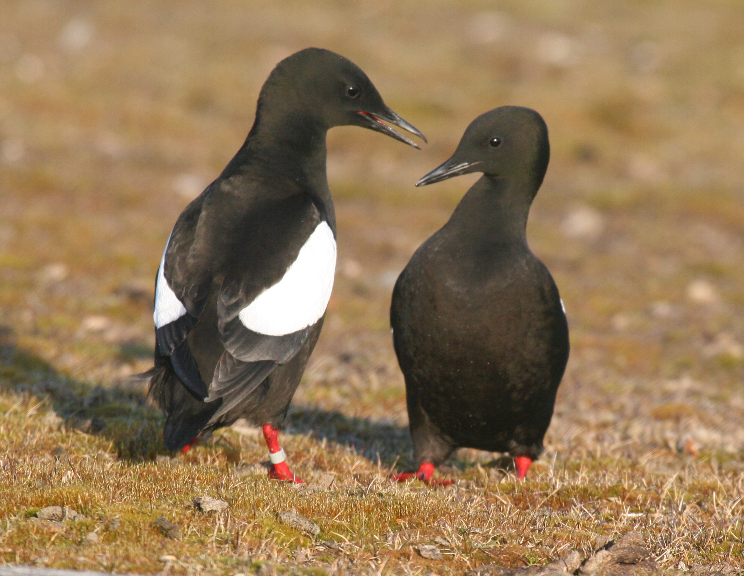
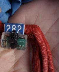
Colorful bands make it easy to identify familiar birds and newcomers (without bands). Image Credit: George Divoky 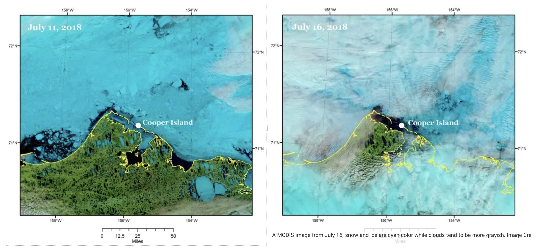
A MODIS image from July 11; snow and ice are cyan color while clouds tend to be more grayish. Image Credit: NASA Worldview A MODIS image from July 16; snow and ice are cyan color while clouds tend to be more grayish. Image Credit: NASA Worldview 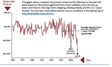
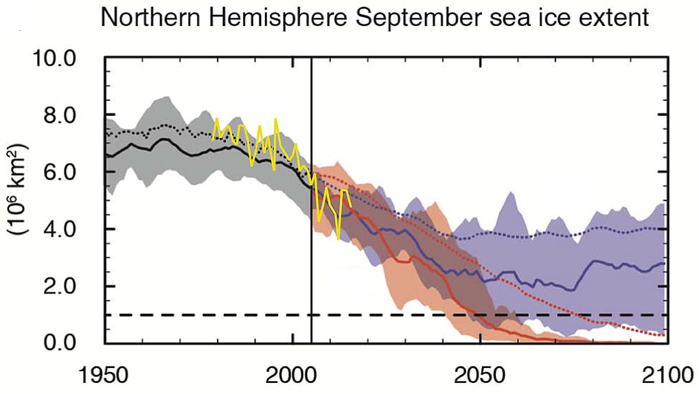
Sea ice since 1850. Image Credit: NOAA and University of Alaska Fairbanks International Arctic Research Center (UAF-IARC). 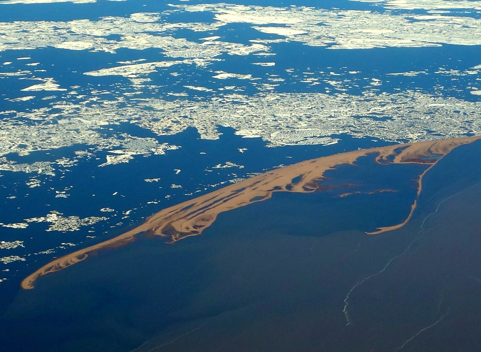

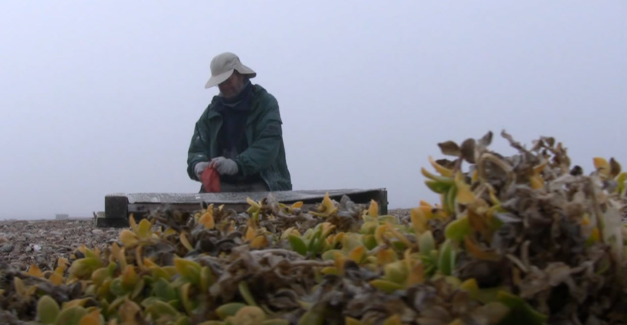
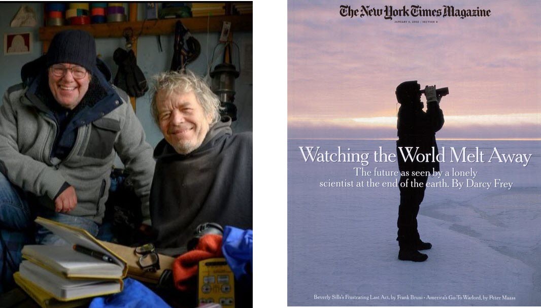
Thomas Leicester

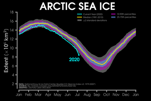
Arctic Sea Ice